Why Land Monitoring Drones Need Precision GNSS Positioning
Land monitoring drones equipped with high-precision GNSS receivers are transforming how environmental scientists, construction firms, and agricultural operations track changes to terrain, vegetation, and infrastructure over time. The ability to detect millimeter-scale ground movement and create repeatable survey-grade measurements across multiple flights — weeks, months, or even years apart — depends entirely on the GNSS receiver guiding the drone.
Consumer-grade GPS receivers, accurate to 2-4 meters, cannot reliably detect subsidence, erosion, or vegetation change. A positioning error that varies between flights makes change detection meaningless. This is where the Septentrio mosaic-X5 GNSS receiver sets a new standard for land monitoring drones, delivering consistent centimeter-level accuracy flight after flight.
For a complete overview of solutions, explore Septentrio-powered GNSS receivers at uav-gnss.com.
The Septentrio Mosaic-X5: Built for Repeatable Land Monitoring
Centimeter-Level RTK Accuracy for Change Detection
The mosaic-X5 achieves 0.6 cm + 0.5 ppm horizontal and 1 cm + 1 ppm vertical RTK accuracy, meaning two flights over the same area can be aligned with centimeter-level consistency. This enables precise change detection — tracking subsidence at construction sites, monitoring erosion along coastlines, or measuring crop height changes during growing seasons — that would be impossible with consumer-grade receivers.
Research published in Drones journal (MDPI) demonstrated that RTK-GNSS UAVs can achieve mean vertical errors of just 1 cm (RMSE 6.6 cm) without any ground control points, making direct georeferencing a viable workflow for kilometer-scale land monitoring surveys.
Multi-Constellation Tracking for Reliable Lock in Challenging Terrain
The mosaic-X5 tracks GPS, GLONASS, Galileo, and BeiDou simultaneously across L1, L2, and L5 frequencies. With 448 hardware channels, it ensures strong satellite geometry even in challenging environments — valleys, forest edges, and urban fringe areas where single-constellation receivers struggle. Products like the HB21 GNSS Box Receiver package this module with dual-antenna heading and 4G NTRIP for permanent monitoring stations.
Key Capabilities for Land Monitoring Applications
- RTK and PPK support: Real-time corrections for immediate results or post-processing flexibility for remote areas without correction links
- AIM+ interference rejection: Maintains lock near power lines, communications towers, and industrial equipment common in monitoring corridors
- 100 Hz update rate: Captures dense position data for detailed terrain modeling and high-resolution DEM generation
- Multi-frequency tracking: L1/L2/L5 for robust ionospheric correction and reliable performance across seasons
- Dual-antenna heading: 0.08° heading accuracy for precise flight line execution and consistent survey patterns
- APME+ multipath suppression: Removes reflections from terrain features, buildings, and vegetation for cleaner data
Learn more about AIM+ resilient GNSS technology for interference-free land monitoring operations.
Key Applications in Land Monitoring
Subsidence and Deformation Monitoring
For construction sites, mining operations, and infrastructure projects, the mosaic-X5 enables detection of millimeter-scale ground movement across repeated survey flights. The receiver’s consistent sub-centimeter accuracy ensures that apparent changes reflect actual ground movement rather than positioning noise. The lightweight EV322 GNSS Receiver at just 14 g is ideal for small multirotor platforms where weight is critical.
Environmental Monitoring and Erosion Tracking
Coastal erosion, riverbank change, and landslide monitoring demand repeatable surveys over extended periods. The mosaic-X5’s rapid 7-second RTK initialization and sub-45-second cold start enable efficient multi-site survey campaigns, while its ultra-low 0.6 W power consumption extends flight endurance for large-area coverage.
Like the mosaic-X5 used in communication relay drone operations, this receiver shares the same GNSS+ technology suite for reliable performance in demanding outdoor environments.
Agricultural Land Monitoring
For precision agriculture, the mosaic-X5 enables accurate crop height measurement, soil elevation mapping, and drainage pattern analysis across growing seasons. The receiver’s compatibility with all major flight controllers and standard data formats (RINEX, RTCM) ensures seamless integration with photogrammetry and LiDAR processing workflows including Pix4D, Agisoft Metashape, and DJI Terra.
Integration with Survey-Grade Workflows
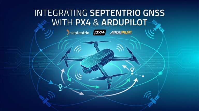
The mosaic-X5 is compatible with all major flight controllers (PX4, ArduPilot) and outputs standard data formats for photogrammetry and LiDAR processing. For long-term monitoring stations, the HB21 receiver adds dual-antenna heading and 4G NTRIP connectivity for continuous RTK corrections without a local base station.
Our u-blox to Septentrio upgrade guide details why the mosaic-X5 achieves RTK fix 40-60% faster than competing modules — critical for time-efficient land monitoring campaigns.
For further reading, refer to the MDPI Drones research on RTK-GNSS UAV topographic mapping, which validates the centimeter-level accuracy achievable without ground control points.
Why the Mosaic-X5 Is the Right GNSS Receiver for Land Monitoring Drones
- Centimeter-level RTK accuracy for reliable change detection across repeated flights
- Multi-constellation, multi-frequency tracking for consistent lock in challenging terrain
- AIM+ anti-interference for monitoring corridors with power lines and infrastructure
- 100 Hz update rate for dense terrain model generation
- RTK and PPK support for operational flexibility
- Ultra-low 0.6 W power consumption for extended survey flights
- Compatibility with Pix4D, Agisoft Metashape, DJI Terra, and other major platforms
- Rapid 7-second RTK initialization for efficient multi-site campaigns
For environmental scientists, surveyors, and agricultural professionals requiring repeatable, publication-grade spatial data, the Septentrio mosaic-X5 delivers the precision and reliability that professional land monitoring demands.
Frequently Asked Questions
Q: Can the mosaic-X5 detect millimeter-level ground movement across repeated flights?
A: Yes. With consistent RTK corrections and post-processing, the mosaic-X5 can detect changes at the centimeter level across repeated flights. For millimeter-level detection, stationary base station setups with long observation sessions are recommended.
Q: Does the mosaic-X5 work with standard photogrammetry software?
A: Yes. The receiver outputs standard RINEX and RTCM data compatible with Pix4D, Agisoft Metashape, DJI Terra, and other major photogrammetry and LiDAR processing platforms.
Q: What is the best setup for long-term land monitoring projects?
A: For permanent monitoring stations, we recommend the HB21 with 4G NTRIP connectivity for continuous RTK corrections. For periodic survey flights, the mosaic-X5 with PPK processing provides reliable results without requiring real-time correction links.
Q: How many satellites can the mosaic-X5 track simultaneously?
A: The mosaic-X5 integrates 448 hardware channels tracking GPS, GLONASS, Galileo, and BeiDou simultaneously across L1, L2, and L5 frequencies, ensuring strong satellite geometry even in valleys, forest edges, and urban fringe areas.
Related GNSS Products
- HB21 GNSS Box Receiver — All-in-one RTK receiver with integrated 4G LTE, heading, and data logging for permanent monitoring stations
- HB6 GNSS Box Receiver — Compact quad-constellation RTK receiver powered by Septentrio Mosaic X5
- EV322 GNSS Receiver — Lightweight RTK receiver for small multirotor survey platforms
- AIM+ Anti-Jamming Technology — Advanced interference and spoofing protection
Browse our full GNSS receiver collection for professional UAV survey applications.