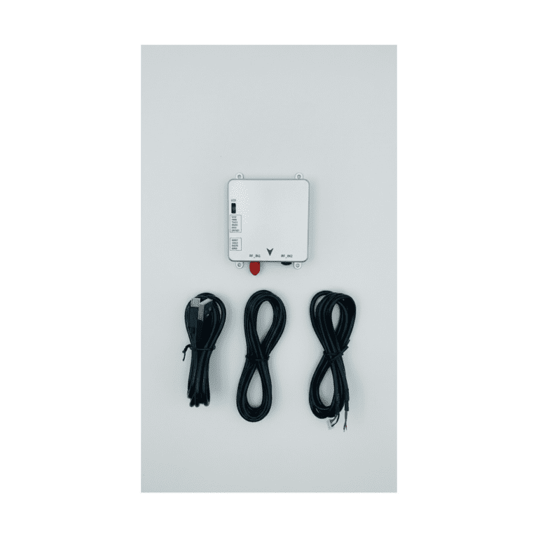
The Septentrio mosaic-G5 P3 provides high-precision, highly reliable GNSS positioning capabilities for bridge inspection drones. Its compact size (22.8 × 16.4 mm), ultra-low power consumption (typical 0.44 W), and industry-leading centimeter-level RTK positioning performance make it easy to integrate into various drone inspection platforms. With support for all-constellation, all-frequency signal tracking, provision of complete raw measurement data, and integration of Septentrio’s unique GNSS+ technology suite (AIM+, APME+, LOCK+, IONO+), the mosaic-G5 P3 can effectively handle multipath interference from complex structures beneath and around bridges, electromagnetic interference from metal structures, and high-dynamic flight challenges. It ensures continuous output of stable, trustworthy positioning data in various bridge environments, providing an accurate spatial reference for structural health inspections and 3D modeling.
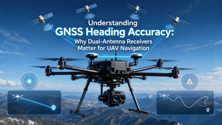
High-Precision GNSS Technology Empowers Modern Bridge Inspection
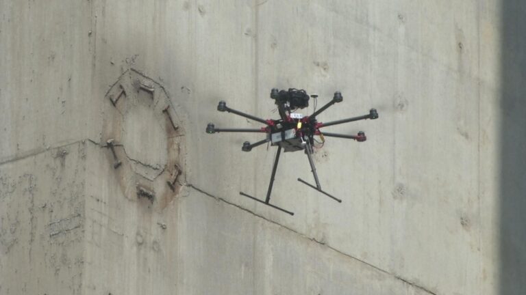
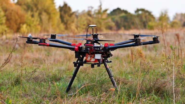
Modern bridge inspection has entered an era of digitalization and refinement. As an efficient and safe platform for close-range data acquisition, drones place extremely high demands on the accuracy, reliability, anti-interference capability, and dynamic performance of their positioning and navigation systems. The Septentrio mosaic-G5 P3 is designed specifically to meet such professional inspection needs, integrating laboratory-grade high-precision GNSS performance into a miniaturized module, providing a powerful positioning core for bridge inspection drones.
Why is Centimeter-Level GNSS Accuracy Crucial for Bridge Inspection
Quad-constellation GNSS receivers achieve centimeter-level accuracy by simultaneously tracking GPS, GLONASS, Galileo, and BeiDou satellites with RTK corrections. Whether it’s millimeter-level crack identification, structural deformation monitoring, or high-precision 3D reverse modeling, centimeter or even sub-centimeter absolute positioning accuracy is key to ensuring the validity of inspection data and the scientific nature of engineering decisions. The stable RTK/PPK solution capability provided by the mosaic-G5 P3 is a prerequisite for generating precise 3D models and deformation analysis data usable for safety assessments.
Core Advantages of the Septentrio mosaic-G5 P3 GNSS Receiver
The mosaic-G5 P3 is more than just a GNSS module; it’s a complete, high-precision positioning solution optimized for professional inspection applications. It fuses top-tier performance, ultra-low power consumption, and exceptional reliability within an extremely small form factor, making it a strong choice for integration into bridge inspection drones.
All-System, All-Frequency GNSS Performance
Despite its small volume of only 22.8 x 16.4 x 2.4 mm, the mosaic-G5 P3 features:
– 789 hardware channels, supporting simultaneous tracking of all visible satellite signals, enhancing availability in partially obstructed environments.
– All-constellation, all-frequency support: including GPS (L1C/A, L1C, L2C, L2PY, L5), BeiDou (B11, B1C, B2a, B2I, B2b, B3I), Galileo (E1, E5a, E5b, E6), GLONASS (L1CA, L2CA, L2P, L3 CDMA), QZSS (L1C/A, L1 C/B, L2C, L5, L6).
– Provision of complete raw measurement data, supporting post-processing PPK. This allows centimeter-level accuracy to be achieved through post-processing in complex environments where real-time RTK fixed solutions cannot be maintained, meeting the highest inspection standards.
– Comprehensive protocol support: Native support for Septentrio Binary Format (SBP), NMEA 0183 (v2.3/v3.03/v4.0), RTCM 3.x (including MSM), etc., facilitating integration.
– Wide temperature operation: Operating temperature from -40°C to +85°C, storage temperature from -55°C to +85°C, adaptable to extreme climates.
GNSS+ Technology Ensures Stable Positioning in Complex Environments
Septentrio’s unique GNSS+ technology suite ensures drones maintain excellent performance in typical complex electromagnetic and reflective environments like bridges:
– AIM+ Advanced: Provides advanced jamming and spoofing detection and mitigation, addressing potential wireless signal interference around bridges and ensuring data authenticity.
– APME+: Powerful a posteriori multipath mitigation technology, key to countering the multiple reflection effects from bridge steel structures, significantly reducing related measurement errors.
– LOCK+: Maintains stable signal tracking during the precise maneuvering of inspection flights and potential gust disturbances encountered by drones.
– IONO+: Mitigates ionospheric delay effects, enhancing reliability for long-baseline or single-base-station PPK processing.
These technologies collectively deliver outstanding RTK positioning performance (open-sky conditions, baseline <40 km):
– Horizontal Accuracy: 0.6 cm + 0.5 ppm
– Vertical Accuracy: 1.0 cm + 1 ppm
– Initialization Time: Typically 7 seconds
Integration Advantages of mosaic-G5 P3 in Bridge Inspection Drone Platforms
High Data Output Rate and Precise Time Stamping
Supports position and raw measurement data output rates up to 20 Hz. Combined with nanosecond-precision Event Marker pins, it enables hardware-level precise synchronization with high-frame-rate cameras, LiDAR, or other sensors, ensuring each frame of inspection data has accurate time and spatial stamps.
Provides High-Quality Data Source for PPK Post-Processing
The output of complete multi-frequency raw observations is key to obtaining high-accuracy results in complex environments. In areas with unstable RTK signals, such as under bridges, PPK post-processing can utilize this high-quality data combined with known base station data to offline calculate centimeter-level precision drone trajectories, ensuring overall data accuracy.
Ultra-Low Power Consumption and Compact Design
Typical power consumption is only 0.44 W, with a maximum of 0.57 W; dimensions are merely 22.8 x 16.4 x 2.4 mm, and weight is approximately 2.2 grams. This greatly saves power and space on the drone platform, contributing to extended single-flight inspection duration and coverage of a larger range of bridge structures.
Robust Environmental Adaptability
Operating temperature range from -40°C to +85°C. It passes rigorous vibration and shock standard tests (e.g., ENV-STD-810H), adapting to various bridge inspection scenarios from cold regions to hot zones, from humid river surfaces to dry land, ensuring long-term stable operation of the equipment.
The mosaic-G5 P3: The Precise Spatiotemporal Core for Bridge Inspection Drones
Enhances the Credibility and Engineering Value of Inspection Data
A bridge inspection system integrated with the mosaic-G5 P3 can produce high-quality point cloud and image data with precise georeferencing, directly improving 3D model accuracy, the sensitivity of deformation monitoring, and the accuracy rate of defect identification, providing reliable analysis basis for structural engineers.
Simplifies Integration and Accelerates Development
The module offers comprehensive interfaces (2x UART, USB, GPIO, Event Markers, PPS), supports multiple standard protocols (NMEA, RTCM, SBF), and comes with complete development documentation and configuration tools (RxTools). This significantly reduces integration difficulty with drone flight controllers and mission payloads, accelerating the development cycle of customized inspection systems.
A Future-Proof Professional Investment
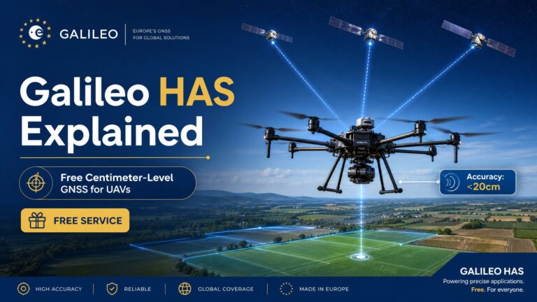
Choosing the mosaic-G5 P3 means choosing a market-proven, high-performance technology platform. Its support for future GNSS signals and services (like Galileo HAS) protects your investment, ensuring the inspection system maintains leading positioning capability in future technological evolution.
Related GNSS Products
- HB21 GNSS Box Receiver — All-in-one RTK receiver with integrated 4G LTE, heading, and data logging.
- HB6 GNSS Box Receiver — Compact quad-constellation RTK receiver powered by Septentrio Mosaic X5.
- EV322 GNSS Receiver — Lightweight RTK receiver for UAVs and autonomous systems.
- AIM+ Anti-Jamming Technology — Advanced interference and spoofing protection.
Browse our full GNSS receiver collection for professional UAV applications.