High-Precision, Reliable GNSS for Critical Infrastructure Inspection
Unmanned Aerial Vehicles (UAVs) have transformed the inspection and monitoring industry by enabling safer, faster, and more detailed assessment of critical assets. From powerline and pipeline inspections to large-scale construction monitoring and geospatial surveys, UAVs require consistent and high-accuracy GNSS performance to deliver trustworthy results. Our GNSS receivers are engineered specifically for these demanding environments, ensuring stable, centimeter-level positioning even in areas where GNSS signals are weak, obstructed, or intentionally interfered with.
High-Accuracy Positioning for Complex Inspection Workflows
Inspection missions rely on precise geolocation to capture reliable data for maintenance, structural analysis, and digital twin creation. Our receivers provide rapid RTK convergence, low latency, and consistent accuracy, enabling UAVs to perform precise flight paths and repeatable automated missions. Whether navigating around tall buildings, flying close to metallic structures, or scanning congested industrial facilities, our technology maintains positioning integrity throughout the entire operation.
Resilience in GNSS-Challenged and Urban Environments
Many inspection tasks take place in harsh radio environments such as refineries, ports, dense urban blocks, and high-voltage corridors. Our advanced interference-mitigation algorithms protect the UAV against jamming, spoofing, and signal degradation, ensuring mission continuity and flight stability. With built-in spectrum monitoring and real-time interference detection, operators can confidently fly in areas where standard GNSS systems fail.
Seamless Integration for Automated Data Capture
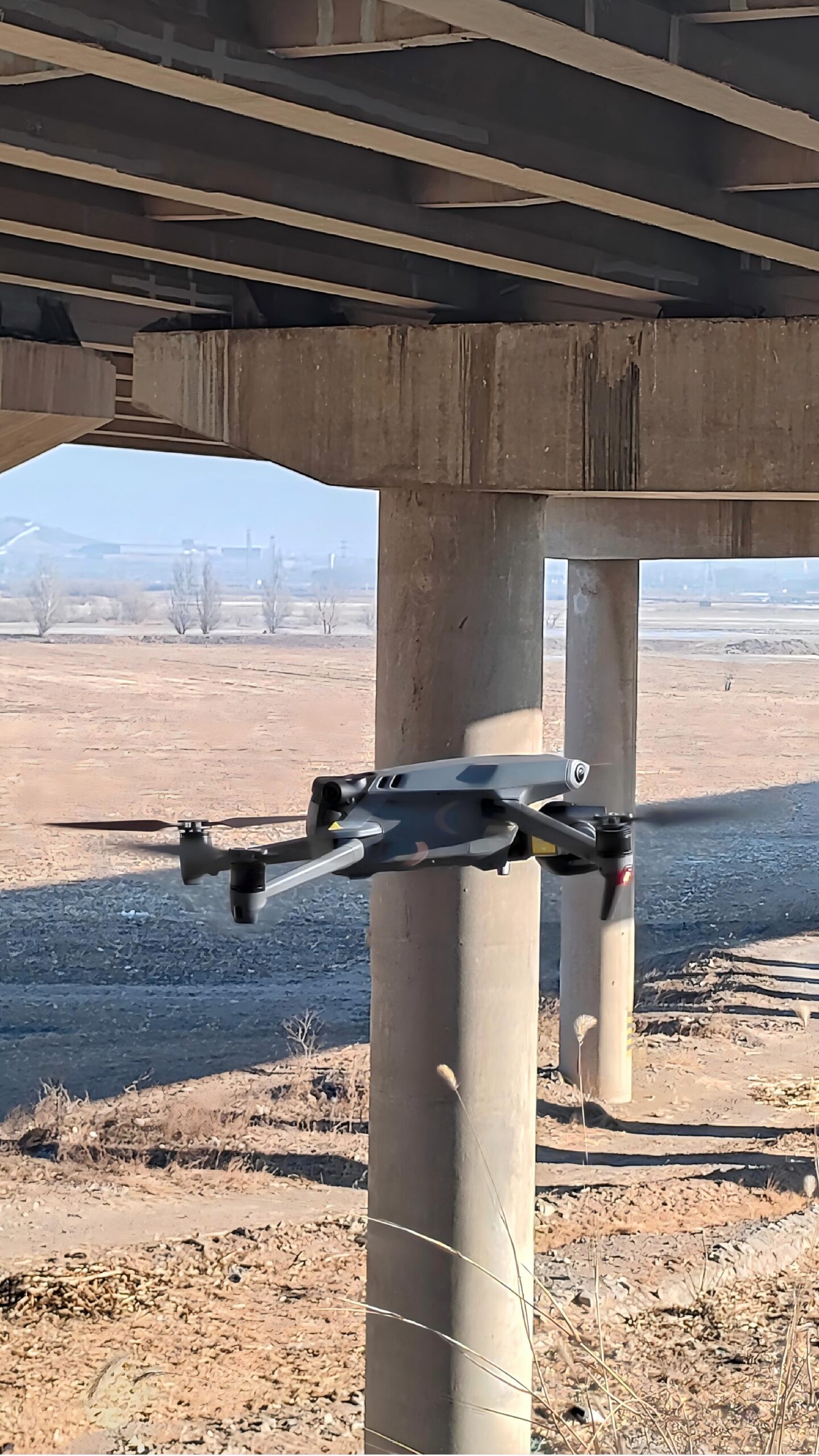
Our compact, lightweight GNSS modules integrate effortlessly into UAV platforms used for LiDAR mapping, photogrammetry, thermal inspections, and multispectral surveying. Low power consumption, flexible interfaces, and compatibility with high-accuracy correction services make our systems ideal for long-duration flights and automated workflows. When combined with GNSS/INS options, UAVs maintain accurate navigation even during temporary signal loss, rapid maneuvers, and under-bridge or near-structure operations.
Applications Across Industries
Our GNSS receivers support a wide range of inspection and monitoring activities, including:
- Powerline and transmission corridor inspection
- Oil & gas pipeline monitoring
- Mining site and quarry mapping
- Railway and transportation infrastructure assessment
- Construction progress monitoring and BIM integration
- Environmental and vegetation monitoring
- Bridge, tower, and industrial facility inspections
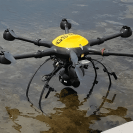
- Coastal, harbor, and offshore asset surveys
With dependable GNSS positioning, organizations can reduce operational risks, enhance inspection frequency, and improve data accuracy across all mission types.
Improved Safety and Cost Efficiency Through UAV Automation
By enabling reliable autonomous flight and repeatable data-collection routes, our UAV GNSS technology reduces the need for manual inspection in hazardous or hard-to-reach areas. Utilities, engineering firms, and industrial operators can monitor infrastructure more frequently and at a lower cost while improving safety for field personnel.
Ready to Elevate Your Inspection & Monitoring Capabilities
We provide specialized GNSS solutions tailored for UAV-based inspection operations, including compact modules, dual-antenna systems, and high-accuracy GNSS/INS receivers. Our engineering support team ensures seamless integration into your platform, helping you unlock precise, interference-resilient positioning for every inspection mission.