Abstract
The Septentrio mosaic-G5 P1 delivers centimeter-level RTK positioning for agricultural spraying drones, with its GNSS+ technology suite (AIM+ Basic, APME+, LOCK+, RAIM+) ensuring reliable operation in challenging farmland environments. Featuring 789 channels, triple-frequency tracking, and ultra-low power consumption of just 0.44 W, it is specifically designed for large-scale, long-endurance agricultural spraying operations.
High-Precision GNSS Technology Empowers Modern Precision Agriculture
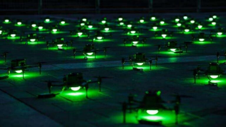
In modern agricultural spraying operations, drones have evolved from auxiliary tools into highly efficient and precise platforms for pesticide application and monitoring. Critical processes such as precise spraying, route planning, and operation logging place extremely high demands on positioning accuracy. Traditional meter-level or decimeter-level accuracy can no longer meet the three core requirements of precision agriculture: chemical savings, environmental friendliness, and operational efficiency.
Why Is Centimeter-Level GNSS Accuracy Crucial for Spraying Operations?
Quad-constellation GNSS receivers achieve centimeter-level accuracy by simultaneously tracking GPS, GLONASS, Galileo, and BeiDou satellites with RTK corrections. Precise GNSS positioning is the foundational technology ensuring that drone spraying operations are efficient, environmentally friendly, and repeatable.
Core Advantages of the Septentrio mosaic-G5 P1 GNSS Receiver
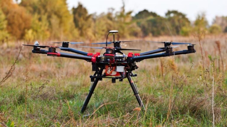
The mosaic-G5 P1 is more than just a navigation module; it is a high-precision spatiotemporal positioning system specifically designed for agricultural spraying drones. Its design philosophy delivers reliable centimeter-level positioning capability within an extremely compact footprint, making it particularly suitable for large-scale, high-frequency agricultural operations.
Full-Constellation, Multi-Frequency GNSS Performance for Complex Farm Environments
Despite its compact size of 22.8 x 16.4 x 2.4 mm, the mosaic-G5 P1 features:
- 789 hardware channels for simultaneous tracking of all visible satellite signals
- Support for all major constellations: GPS, GLONASS, BeiDou, Galileo, and QZSS
- Triple-frequency tracking (L1/L2/L5 bands) enhances signal lock robustness
- Maintains stable positioning in complex terrains such as farmland, orchards, and hills
GNSS+ Technology Ensures Reliable Operation in Interference-Prone Environments
Septentrio’s patented GNSS+ technology suite ensures signal integrity under real-world field conditions with electromagnetic interference and multipath reflections:
- AIM+ Basic: Jamming and spoofing signal detection with manual mitigation
- APME+: Multipath mitigation to reduce reflections from crops and structures
- LOCK+: Maintains stable tracking under high vibration and mechanical shock
- RAIM+: Receiver autonomous integrity monitoring for positioning reliability
These technologies combine to deliver consistent and reliable centimeter-level RTK positioning accuracy:
- Horizontal Accuracy: 0.6 cm + 0.5 ppm
- Vertical Accuracy: 1.0 cm + 1 ppm
Integration Advantages of mosaic-G5 P1 in Agricultural Drone Platforms
Efficient and Precise Route Execution
With a maximum update rate of 5 Hz and latency of less than 10 ms, the mosaic-G5 P1 ensures drones can accurately follow pre-defined flight paths even at high speeds, avoiding over-spraying or missed areas.
Low Power Consumption and Extended Flight Time
Typical power consumption is only 0.44 W, with a maximum of 0.57 W, significantly extending the drone’s single-flight duration and making it ideal for large-area, continuous operations.
Strong Environmental Resilience
With an operating temperature range of -40°C to +85°C and compliance with MIL-STD-810H vibration and shock standards, it is well-suited for harsh field conditions involving heat, humidity, and dust.
Fast Startup and High Reliability
Cold start time is under 35 seconds, warm start under 10 seconds, and reacquisition is just 1 second, improving operational efficiency and responsiveness.
The mosaic-G5 P1: The Precision Positioning Foundation for Agricultural Drones
Enhances Operational Efficiency and Chemical Utilization
Centimeter-level positioning accuracy ensures every droplet of chemical is delivered precisely to the target area, reducing waste and improving application effectiveness.
Easy Integration and Rapid Deployment
Comprehensive interface documentation, SDKs, and API support, along with compatibility with protocols like SBF, NMEA, and RTCM, facilitate quick integration into existing drone systems.
A Future-Proof Positioning Solution for Agricultural Drones
Choosing the mosaic-G5 P1 provides agricultural drones with long-term stability and high-precision GNSS performance, adapting to the ongoing evolution of precision agriculture.
Related GNSS Products
- HB21 GNSS Box Receiver — All-in-one RTK receiver with integrated 4G LTE, heading, and data logging
- HB6 GNSS Box Receiver — Compact quad-constellation RTK receiver powered by Septentrio Mosaic X5
- EV322 GNSS Receiver — Lightweight RTK receiver for UAVs and autonomous systems
- AIM+ Anti-Jamming Technology — Military-grade interference and spoofing protection
Browse our full GNSS receiver collection for professional UAV applications.
Frequently Asked Questions
What GNSS accuracy does the mosaic-G5 P1 provide for agricultural spray drones?
The mosaic-G5 P1 achieves centimeter-level RTK accuracy (0.6 cm + 0.5 ppm horizontal), essential for precise spray drone navigation. This ensures consistent overlap patterns, eliminates gaps or double-spraying, and supports automated waypoint following for large-field agricultural operations.
Why is RTK GNSS critical for agricultural spray drones?
Precision agriculture demands sub-10 cm accuracy to avoid crop damage, reduce chemical waste, and ensure uniform coverage. RTK GNSS corrects atmospheric errors using a base station or network (NTRIP), enabling the spray drone to follow pre-planned flight lines within a few centimeters, even at high speeds over uneven terrain.
Does the mosaic-G5 P1 support NTRIP for RTK correction in remote farmland?
Yes. The mosaic-G5 P1 supports NTRIP client functionality, allowing it to receive RTK corrections via 4G/LTE or satellite internet. For remote fields without network coverage, it can log raw data for post-processing or operate with a local base station.