The Critical Demand for Precision and Reliability in Modern Farming
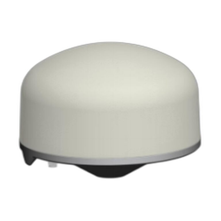
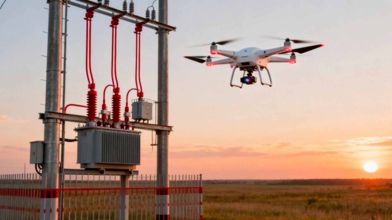
The global agricultural sector is undergoing a technological revolution, with drones becoming indispensable tools for precision spraying, crop scouting, and yield optimization. These missions demand centimeter-level accuracy for precise chemical application, unwavering reliability to ensure complete field coverage, and robust heading information for stable flight in challenging wind conditions. Agricultural environments are far from benign — operations near farmhouses, communication towers, and high-power machinery create significant GNSS jamming risks. The Septentrio mosaic-G5 P3H module is engineered as the definitive resilient GNSS board for this sector, combining high-precision RTK, dual-antenna heading, and robust anti-jamming capabilities in an ultra-compact, low-power package.
Why Agricultural Drones Require a Specialist GNSS Solution
Standard GPS modules found in consumer drones are insufficient for professional agriculture. Spraying drones must follow precise, pre-programmed swaths to ensure even chemical distribution without overlap or gaps — demanding continuous RTK performance. The presence of GPS jammers, though illegal, is a reality, and unintentional interference from farm equipment is common. Agricultural drones often operate in high wind conditions, requiring precise attitude data to compensate for drift and maintain an accurate flight path. The mosaic-G5 P3H addresses these challenges holistically, providing not only a trusted position but also a reliable orientation.
Core Advantages: An Integrated Solution for Autonomous Field Operations
Unmatched Size, Power, and Performance Ratio
With dimensions of only 22.8 x 16.4 x 2.4 mm, the P3H achieves a 60% size reduction compared to the mosaic-X5 and a 40% power consumption reduction. This exceptional SWaP-C profile frees up crucial space and battery capacity for larger pesticide tanks or longer flight times.
Dual-Antenna Heading for Wind Compensation and Precision
The P3H supports dual-antenna heading and pitch/roll calculation independent of magnetic compasses that are easily disturbed by nearby motors and electronics. This is vital for:
- Wind Drift Compensation: The flight controller (PX4 or ArduPilot) uses true heading to adjust the drone’s crab angle, ensuring the ground track remains straight despite crosswinds.
- Spray System Alignment: Accurate heading ensures the spray boom or nozzles are correctly aligned with the flight path.
- Improved Autonomy: Reliable heading is fundamental for advanced autonomous behaviors and safe return-to-home operations.
Built-In Resilience: A Multi-Layered Defense for the Farm
- AIM+: Continuous spectrum monitoring for GNSS jamming and spoofing, with adaptive filtering to maintain position integrity.
- Multi-Constellation, Multi-Frequency: Tracking all major constellations across four frequency bands ensures redundancy — if one frequency is compromised, others provide backup.
- LOCK+: Stable satellite tracking despite vibrations from the drone’s propulsion system, compliant with AEC-Q104 Grade 3 automotive standards.
Seamless Integration with Industry-Standard Autopilots
PX4 and ArduPilot Compatibility: The module communicates via UART interfaces, streaming NMEA messages and RTCMv3 correction data for RTK positioning. Both open-source flight stacks natively support this data flow. The addition of heading data allows developers to enhance wind compensation and navigation algorithms. Septentrio provides compact evaluation kits for rapid prototyping.
Related GNSS Products
- HB21 GNSS Box Receiver — All-in-one RTK receiver with integrated 4G LTE, heading, and data logging
- HB6 GNSS Box Receiver — Compact quad-constellation RTK receiver powered by Septentrio Mosaic X5
- EV322 GNSS Receiver — Lightweight RTK receiver for UAVs and autonomous systems
- AIM+ Anti-Jamming Technology — Advanced interference and spoofing protection
Browse our full GNSS receiver collection for professional UAV applications.
Frequently Asked Questions
How does dual-antenna heading improve spraying accuracy over IMU/compass alone?
An IMU and compass are subject to drift and electromagnetic interference from the drone’s motors and ESCs, causing cumulative heading errors and swath misalignment. The P3H’s dual-antenna heading derives directly from the carrier phase difference of GNSS signals at two physically separated antennas, providing a stable, absolute, drift-free heading reference with accuracy well below 0.1 degrees. When fused with the IMU in the flight controller, it continuously corrects drift — resulting in straighter flight lines and perfect swath alignment.
How does AIM+ handle interference from agricultural equipment like grain dryers or irrigation radios?
The P3H’s AIM+ system performs continuous real-time spectral analysis. Upon detecting persistent narrowband interference from malfunctioning motor drives or spurious emissions, it applies adaptive notch filters to surgically remove that specific frequency without affecting surrounding GNSS signals. For wider noise floors, it employs advanced filtering algorithms, ensuring the drone maintains its RTK fix and does not abandon its mission.
How does the P3H justify its cost compared to a cheaper, lower-precision module?
The justification is based on Total Cost of Operation and ROI. A simpler module may save upfront cost but leads to: 5-15% chemical waste from overlap/gaps, mission replays wasting time and batteries, and potential crop damage from inaccurate application. The P3H’s centimeter-level accuracy eliminates these losses, while its resilience prevents mission failures from interference. It pays for itself quickly through reduced input costs and improved crop outcomes.
What makes a GNSS heading receiver ‘resilient’?
A resilient GNSS heading receiver maintains accurate heading output despite challenging conditions: RF interference, jamming, spoofing, high vibration, rapid dynamics, and partial sky view. The mosaic-G5 P3H achieves resilience through AIM+ anti-jamming, multi-constellation tracking with RAIM, dual-frequency operation, and LOCK+ technology that maintains RTK fix through high dynamics.