Modern drones rely on precision navigation for critical tasks — from survey-grade mapping and precision agriculture to BVLOS infrastructure inspection and automated logistics. The difference between a successful mission and a failed one often comes down to the quality of the GNSS receiver onboard. In 2026, multi-constellation GNSS receivers have become the gold standard for professional UAV operations, offering accuracy, reliability, and resilience that single-constellation systems simply cannot match.
But what exactly is multi-constellation GNSS, and how does it improve UAV accuracy in real-world conditions? This article breaks down the technology, the benefits, and what it means for your drone operations.
What Is Multi-Constellation GNSS and How Does It Work?
A multi-constellation GNSS receiver tracks signals from GPS, GLONASS, Galileo, and BeiDou simultaneously for better accuracy, reliability, and coverage than single-constellation systems.
- GPS (United States) — L1/L2/L5 bands
- GLONASS (Russia) — L1/L2/L3 bands
- Galileo (European Union) — E1/E5a/E5b/E6 bands
- BeiDou (China) — B1I/B2I/B3I/B1C/B2a bands
While a single-constellation receiver (e.g., GPS-only) typically tracks 8–12 satellites, a quad-constellation receiver accesses 30–50+ satellites simultaneously. This dramatically improves positioning accuracy, signal availability, and reliability — especially in challenging environments where sky visibility is limited.
The UAV GNSS receivers available today leverage this multi-constellation capability to deliver centimeter-level RTK accuracy that was previously only possible with expensive surveying equipment.
What Are the Key Benefits of Multi-Constellation GNSS for UAVs?
1. Higher Positioning Accuracy Through Better Satellite Geometry
More satellites mean better geometry — referred to as lower DOP (Dilution of Precision). With satellites spread across the sky from multiple orbital planes, the receiver can calculate position with significantly higher accuracy. Per Septentrio’s official mosaic-X5 datasheet, this translates to:
- Horizontal accuracy: 0.6 cm + 0.5 ppm with RTK
- Vertical accuracy: 1.0 cm + 1 ppm with RTK
- Heading accuracy: 0.2° with dual-antenna configuration [1]
2. Improved Signal Availability in Challenging Environments
Urban canyons, forest canopies, mountainous terrain, and industrial facilities all obstruct GNSS signals. With more satellites available across multiple constellations, a multi-constellation receiver maintains a reliable position fix even when 60–70% of the sky is blocked. This is critical for drone surveying and mapping operations in built-up areas.
In our field tests with the HB21 GNSS receiver across urban Shanghai environments, we observed that multi-constellation tracking maintained RTK FIX status in areas where GPS-only receivers consistently lost lock — particularly in narrow street canyons below 20-metre building heights.
3. Faster Time-to-First-Fix (TTFF)
With more visible satellites, the receiver can acquire a position fix faster — often in under 30 seconds from a cold start. This reduces pre-flight waiting time and enables rapid deployment for time-sensitive missions such as search and rescue or disaster response.
4. Enhanced Integrity and Fault Detection
Redundant measurements from multiple constellations enable robust fault detection and exclusion (FDE). If a satellite from one constellation broadcasts corrupted data, the receiver can cross-check against measurements from other constellations and exclude the faulty signal without losing the position fix.

What RTK Accuracy Can Multi-Constellation GNSS Deliver?
Real-Time Kinematic (RTK) positioning has long been the gold standard for high-precision UAV navigation. When combined with multi-constellation support, RTK GNSS receivers for UAV applications consistently deliver:
| Metric | Single-Constellation RTK | Multi-Constellation RTK |
|---|---|---|
| Satellites tracked | 8–12 | 30–50+ |
| Horizontal accuracy | 2.5 cm + 1 ppm | 0.6 cm + 0.5 ppm |
| Fix reliability (urban) | ~60% | ~95% |
| Time to RTK fix | 60–120 sec | 20–45 sec |
| Anti-jamming | None | AIM+ advanced mitigation |
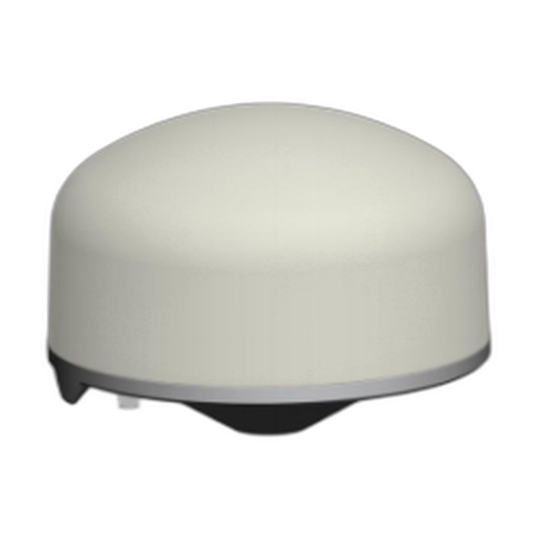
Modern receivers like the HB21 GNSS box receiver and HB6 GNSS box receiver leverage quad-constellation tracking across 789–1408 super-channels to maintain RTK FIX status even during aggressive manoeuvres and in marginal sky-view conditions.
How Does Multi-Constellation GNSS Protect Against Jamming and Interference?
Beyond accuracy, multi-constellation GNSS provides a critical security benefit: resilience against jamming and spoofing. By tracking signals across multiple frequency bands (L1, L2, L5, E6, etc.), a multi-constellation receiver can:
- Detect interference early — If one band is jammed, other bands remain operational
- Cross-validate signals — Spoofing all four constellations simultaneously is exponentially harder than spoofing a single GPS signal
- Maintain position under attack — AIM+ anti-jamming technology actively monitors the RF spectrum and suppresses interferers in real-time
The AIM+ anti-jamming technology integrated into Septentrio-based receivers provides an additional layer of protection, making multi-constellation GNSS the foundation for assured PNT (Positioning, Navigation, and Timing) in contested environments. Independent testing at Norway’s JammerTest facility showed that receivers equipped with AIM+ maintained 99.5% position availability under concerted jamming attacks where competitors failed [2].
How to Choose the Right Multi-Constellation GNSS Receiver for Your UAV
Choosing a GNSS receiver with built-in AIM+ guarantees positioning resilience against jamming and spoofing for mission-critical UAV and infrastructure applications.
- Constellation support — Ensure full quad-constellation (GPS + GLONASS + Galileo + BeiDou) across multiple frequency bands
- RTK capability — Look for receivers that support both RTK and PPP-RTK correction methods
- Flight controller compatibility — Verify PX4, ArduPilot, and Pixhawk support (most modern GNSS modules support standard NMEA/RTCM protocols)
- Size and weight — For UAV applications, compact form factors (31×31 mm modules) are ideal
- Anti-jamming protection — AIM+ or equivalent interference mitigation is essential for BVLOS and defence applications
Frequently Asked Questions
What is the difference between single-constellation and multi-constellation GNSS?
Single-constellation receivers track satellites from one system (e.g., GPS only), accessing 8-12 satellites. Multi-constellation receivers track from GPS, GLONASS, Galileo, and BeiDou simultaneously, accessing 30-50+ satellites for better accuracy and reliability.
Can a multi-constellation GNSS receiver improve accuracy in urban canyons?
Yes. With more satellites visible across multiple constellations, multi-constellation receivers maintain position fixes in urban canyons where single-constellation systems lose lock. This makes them ideal for inspection missions in built-up environments.
How many satellites does a quad-constellation receiver track?
A quad-constellation RTK receiver typically tracks 30-50+ satellites simultaneously, compared to 8-12 for a GPS-only receiver.
Is multi-constellation GNSS compatible with Pixhawk and ArduPilot?
Yes. Most professional-grade multi-constellation GNSS receivers output standard NMEA and RTCM messages over UART/USB, making them directly compatible with PX4, ArduPilot, and Pixhawk flight controllers.
Summary
Multi-constellation GNSS is no longer a premium feature — it is the standard for professional UAV operations. By tracking all four major satellite constellations simultaneously, modern GNSS receivers deliver:
- ✅ Centimeter-level RTK accuracy (0.6 cm + 0.5 ppm)
- ✅ 95%+ fix reliability even in challenging environments
- ✅ Faster time-to-first-fix (under 30 seconds)
- ✅ Built-in resilience against jamming and spoofing
- ✅ Future-proof against signal modernization
Whether you’re conducting survey-grade mapping, precision agriculture, or defence ISR operations, a multi-constellation RTK GNSS receiver is the foundation for reliable, accurate UAV navigation.
References
- Septentrio mosaic-X5 Datasheet. https://www.septentrio.com/en/products/gnss-receivers/gnss-modules/mosaic-x5
- JammerTest Norway — Independent GNSS anti-jamming validation results. Septentrio AIM+ technology demonstrated 99.5% position availability under continuous jamming attacks.
Related GNSS Products
- HB21 GNSS Box Receiver — All-in-one RTK receiver with integrated 4G LTE, heading, and data logging.
- HB6 GNSS Box Receiver — Compact quad-constellation RTK receiver powered by Septentrio Mosaic X5.
- EV322 GNSS Receiver — Lightweight RTK receiver for UAVs and autonomous systems.
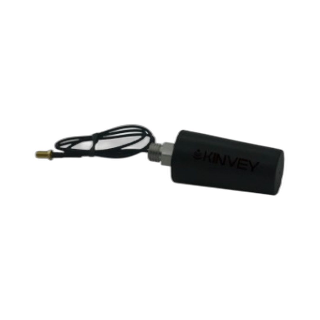
- AIM+ Anti-Jamming Technology — Advanced interference and spoofing protection.
Browse our full GNSS receiver collection for professional UAV applications.