High-Precision GNSS for Modern Archaeological Research
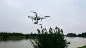
In contemporary archaeological research, drones have evolved from auxiliary tools into indispensable exploration instruments. Flying above excavation areas, they capture traces of ancient civilizations from unique, elevated perspectives. But as archaeology shifts from surface-level observation to precise cultural layer analysis, the traditional decimeter-level or meter-level accuracy is no longer sufficient.
Why Centimeter-Level GNSS Precision Is Critical for Archaeology
A deviation of just 1–2 centimeters may cause researchers to miss cultural boundaries or misinterpret the spatial relationships between artifacts. These seemingly minor errors can compromise months of fieldwork and reduce academic credibility.
Core Advantages of the Septentrio mosaic-X5 GNSS Receiver
The Septentrio mosaic-X5 is more than a navigation module—it is a high-precision spatiotemporal recording system specifically suited to archaeological workflows. Its biggest advantage is its design philosophy of all-around precision and reliability.
Full-Constellation, Multi-Frequency GNSS Performance
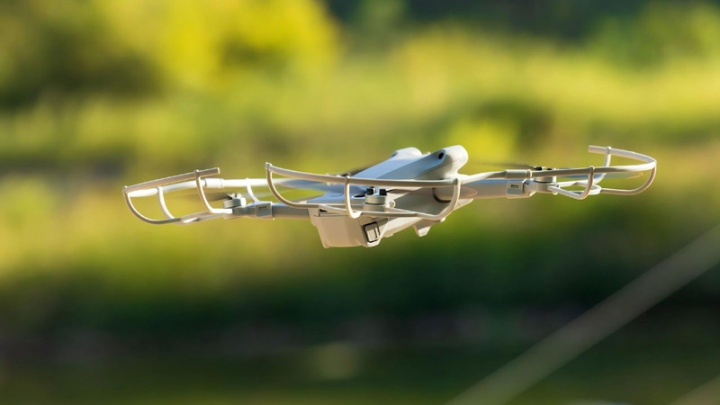
Despite its compact size (31×31×4 mm), the mosaic-X5 provides:
i. 448 hardware channels
ii. Support for all major constellations (GPS, BeiDou, Galileo, GLONASS)
iii. Multi-frequency tracking for robust signal lock
iv. Reliable operation in deep valleys, dense forests, or ancient ruins
GNSS+ Technology for Interference-Free Archaeological Surveys
Septentrio’s proprietary GNSS+ technology suite ensures signal integrity in real archaeological conditions:
– AIM+ anti-interference protects against jamming and spoofing.
– APME+ multipath suppression removes reflections from ancient walls.
– LOCK+ maintains stable tracking during windy conditions.
These technologies combine to deliver continuous centimeter-level RTK accuracy:
– Horizontal: 0.6 cm + 0.5 ppm
– Vertical: 1.0 cm + 1 ppm
Integration of mosaic-X5 into Archaeological Drone Platforms
High-Speed Mapping and Imaging
The mosaic-X5 supports a 100 Hz update rate with sub-10 ms latency, ensuring every captured frame is tagged with precise geographic coordinates—essential for high-speed UAV mapping.
Precision in 3D Reconstruction
For 3D modeling workflows, its high accuracy provides a stable spatial reference, improving the quality of photogrammetric reconstruction of archaeological structures.
Efficiency and Endurance in Field Operations
Fast RTK initialization accelerates field deployment, low power consumption extends drone flight times, and the receiver is ideal for large-area archaeological mapping missions.
Reliable Performance Across Archaeological Scenarios
With MIL-STD-810G shock resistance and a –40°C to +85°C operating range, the mosaic-X5 performs reliably across diverse archaeological environments.
The mosaic-X5 as a Precision Foundation for Archaeology
Enhancing Academic Credibility with High-Precision Data
Drones equipped with the mosaic-X5 provide high-credibility spatial datasets, strengthening the academic value and reproducibility of archaeological findings.
Easy Integration and Software Support
Comprehensive documentation, SDKs, and API compatibility simplify integration and reduce UAV development time.
A Future-Proof GNSS Investment for Research Teams
Choosing the mosaic-X5 equips research teams with advanced positioning accuracy and long-term GNSS performance stability.
What GNSS receiver is best for archaeological drones?
The Septentrio mosaic-X5 is ideal due to its centimeter-level RTK accuracy, anti-interference technology, and compact design suitable for UAV platforms.
Why do archaeologists need centimeter-level GNSS accuracy?
Because cultural layer boundaries and artifact locations require precise spatial recording to maintain interpretive accuracy and scientific validity.
How does AIM+ benefit archaeological drone surveys?
AIM+ blocks electromagnetic interference and spoofing, ensuring uninterrupted GNSS signal reception during archaeological flights.
Summary
– The Septentrio mosaic-X5 provides centimeter-level RTK accuracy for archaeological drone mapping.
– GNSS+, AIM+, APME+, and LOCK+ enhance interference resistance.
– 448-channel multi-frequency design ensures stable tracking.
– High update rate and low latency support accurate 3D reconstruction.
– Rugged design and low power use suit demanding fieldwork.