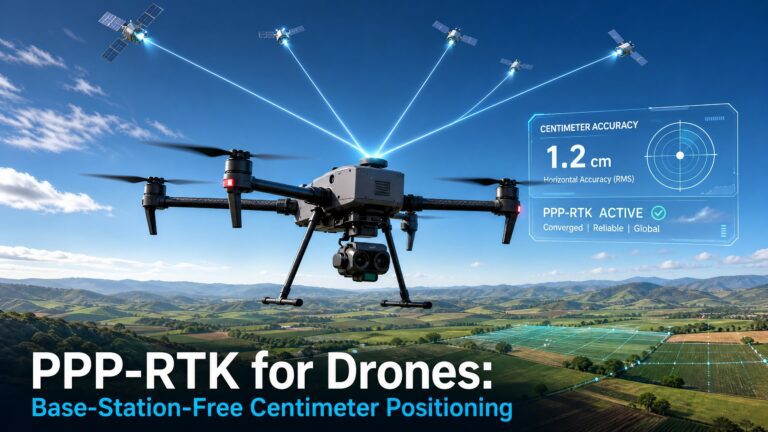
Environmental monitoring demands consistent, repeatable positioning across multiple seasons and years. Whether tracking coastal erosion, mapping ecosystems, or monitoring deforestation, the Septentrio mosaic-G5 P3H GNSS module delivers the survey-grade accuracy that researchers need.
Here is how the mosaic-G5 P3H empowers environmental monitoring UAVs with reliable, centimeter-level positioning in the field.
Multi-Season Repeatability for Change Detection
Environmental monitoring relies on comparing data across multiple flights over months or years. The mosaic-G5 P3H provides the repeatable centimeter-level accuracy necessary for meaningful change detection.
When a researcher returns to a coastal monitoring site six months after the initial survey, the drone must fly the exact same flight path and altitude. The mosaic-G5 P3H’s consistent positioning ensures each flight generates data that aligns perfectly with previous missions.
Without this repeatability, apparent changes in vegetation, shoreline position, or terrain could simply be positioning errors. The mosaic-G5 P3H removes this uncertainty.
Ecosystem Mapping with Multi-Frequency GNSS
Mapping complex ecosystems requires precise positioning across varied terrain. The mosaic-G5 P3H tracks multiple GNSS frequencies through its P3H configuration, providing robust lock in forest understories and coastal zones.
Multi-frequency operation corrects for ionospheric errors that degrade single-frequency solutions. This is especially important for long-duration monitoring missions that span hours of flight time.
The receiver’s support for Galileo E5b and BeiDou B2a bands, beyond the traditional GPS L1/L2, gives it more signal diversity in challenging environments.
Coastal Erosion Monitoring in Challenging Conditions
Coastal monitoring presents unique GNSS challenges. Salt spray can interfere with antenna performance. Waves and tidal zones create signal reflection surfaces. High humidity affects atmospheric models.
The mosaic-G5 P3H includes AIM+ anti-interference technology that filters out interference from marine radar, communication towers, and atmospheric effects. This maintains positioning accuracy in the demanding coastal environment where erosion monitoring takes place.
Learn more about this technology on our AIM+ resilient GNSS page.
Low Power for Extended Environmental Missions
Many environmental monitoring sites are remote. Flight time is precious. The mosaic-G5 P3H is engineered for low power consumption, extending drone endurance for surveys that cover large areas in a single flight.
For missions monitoring wetlands, forests, or coastlines, every extra minute of flight time captures more data. The mosaic-G5 P3H’s efficient design ensures that GNSS positioning does not become the bottleneck for mission duration.
Integration with Survey-Grade Sensors
The mosaic-G5 P3H interfaces with multispectral cameras, thermal sensors, and LiDAR systems commonly used in environmental research. Its precise timestamp output enables direct georeferencing of all sensor data without ground control points.
This integration capability is critical for environmental monitoring programs where establishing ground control across large remote areas is impractical or impossible. The mosaic-G5 P3H allows researchers to geotag each image and point cloud directly.
Cross-Link to Related Content
For land monitoring applications, read about land monitoring drones with the Septentrio mosaic-X5. The EV322 receiver offers an alternative form factor for environmental applications.
Browse our environmental monitoring solutions at uav-gnss.com or the HB21 box receiver for field-deployable configurations.
External Reference
The MDPI Drones journal regularly publishes studies on UAV-based environmental monitoring. For research on satellite-based ecosystem monitoring, see the ScienceDirect repository of peer-reviewed environmental science papers.