

Autel EVO Max External GNSS Receiver: RTK Integration for Mapping and Inspection
If you fly an Autel EVO Max 4T or EVO Max 4N for mapping, inspection, or security operations, you have a…
RTK surveying, aerial mapping, photogrammetry, and geospatial applications for GNSS receivers

If you fly an Autel EVO Max 4T or EVO Max 4N for mapping, inspection, or security operations, you have a…
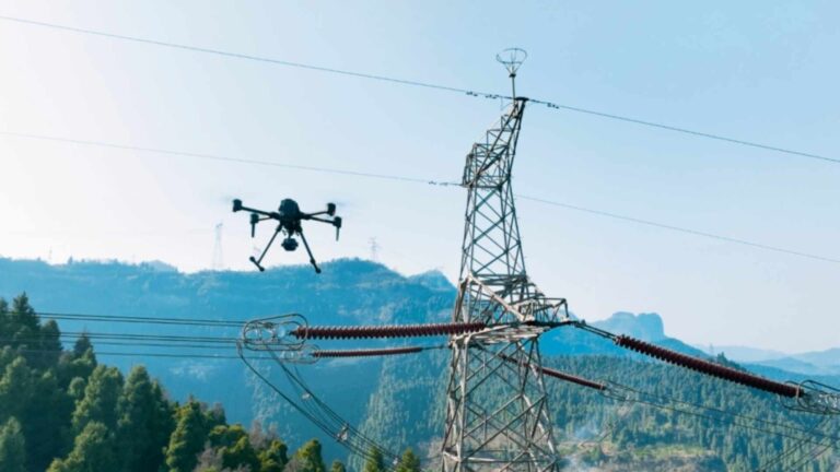
Power line inspection UAVs with the Septentrio mosaic-X5 GNSS receiver: accurate RTK positioning for infrastructure surveys and corridor mapping.

The mosaic-G5 P3 GNSS receiver features a compact size and low power consumption. It supports all-frequency, multi-system signal tracking and raw data output, and is equipped with anti-interference and multipath suppression capabilities, delivering stable centimeter-level RTK positioning performance. It is suitable for drone aerial surveying, enhancing the quality of mapping data and operational reliability, and adapts well to various complex environments and high-dynamic scenarios.

Multi-band GNSS for UAVs explained: why L1, L2 and L5 signals deliver survey-grade accuracy for professional drone mapping and inspection.
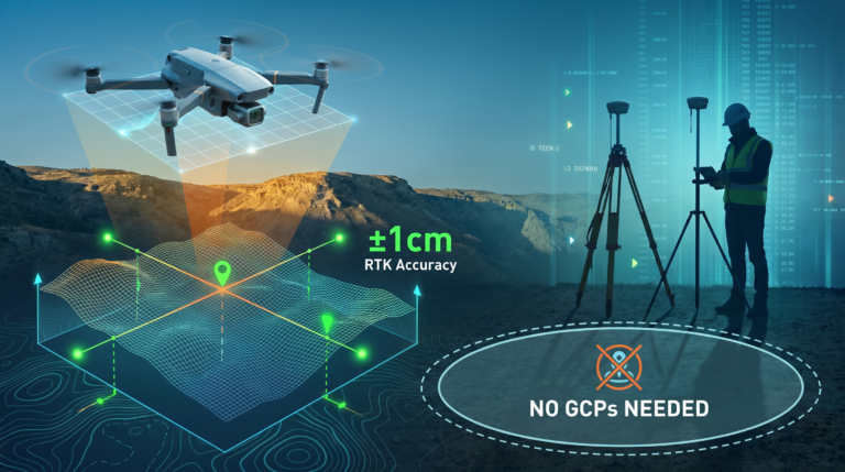
A UAV mapping company achieved +-1cm RTK accuracy without GCPs using the HB21 GNSS receiver. See real survey results and workflow.

RTK vs PPK for drone surveying: comparing real-time and post-processed kinematics for aerial mapping, accuracy requirements and workflow differences.

Equip wildlife tracking drones with the Septentrio AsteRx-M3 Pro board: multi-constellation RTK positioning and AIM+ interference mitigation for field work.

Upgrade environmental monitoring UAVs with the Septentrio mosaic-G5 P3H: multi-season repeatability, AIM+ anti-jamming and centimeter-level accuracy.
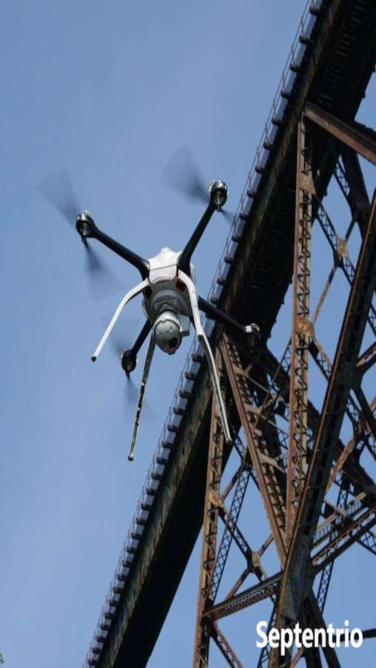
Discover the Septentrio mosaic-G5 P3H for inspection drones: dual-antenna heading, RTK accuracy and AIM+ anti-jamming for reliable infrastructure flights.
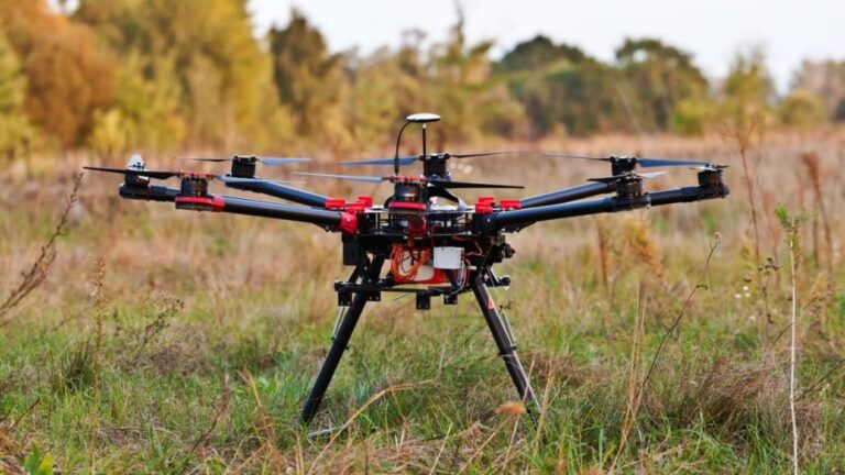
Discover the Septentrio mosaic-X5 for drone-based surveying: RTK accuracy, fast convergence and AIM+ anti-jamming for professional survey-grade mapping.