Surveying Drones: Septentrio Mosaic-G5 P3H GNSS Heading Receiver for Mapping Applications
Upgrade your surveying drone with the Septentrio Mosaic-G5 P3H dual-antenna module: 0.08 degree heading precision and centimeter positioning.
RTK surveying, aerial mapping, photogrammetry, and geospatial applications for GNSS receivers
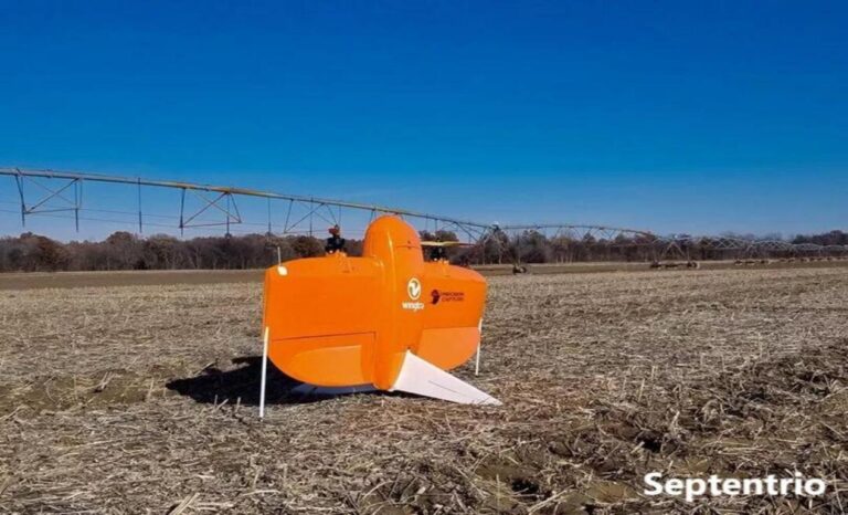
Upgrade your surveying drone with the Septentrio Mosaic-G5 P3H dual-antenna module: 0.08 degree heading precision and centimeter positioning.

Discover the Septentrio mosaic-X5 for archaeological drone surveys: RTK accuracy for heritage site mapping and excavation planning work.
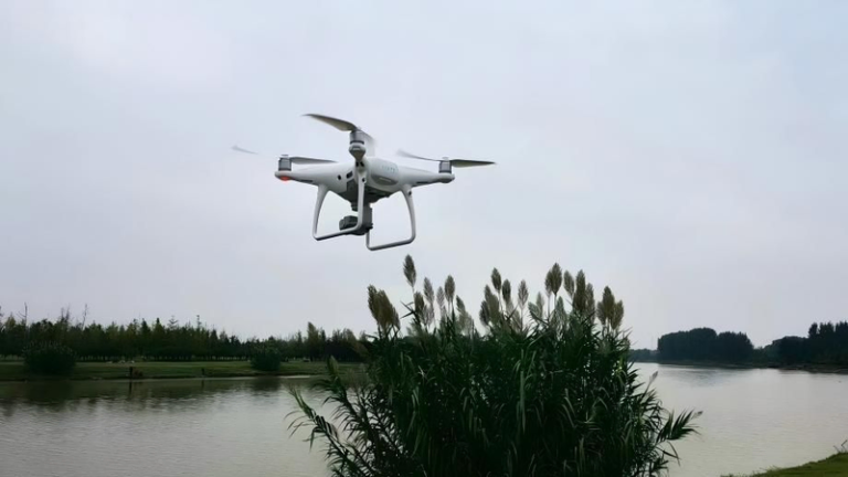
Discover the Septentrio mosaic-X5 for archaeological survey drones: RTK accuracy for site mapping and multi-constellation heritage documentation.
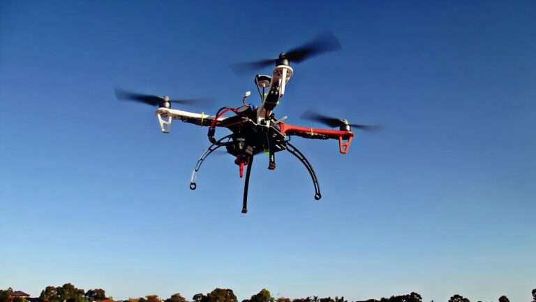
Discover the Septentrio mosaic-X5 for land monitoring drones: centimeter-level topographic mapping, change detection and AIM+ anti-jamming protection.