What Is PPP-RTK?
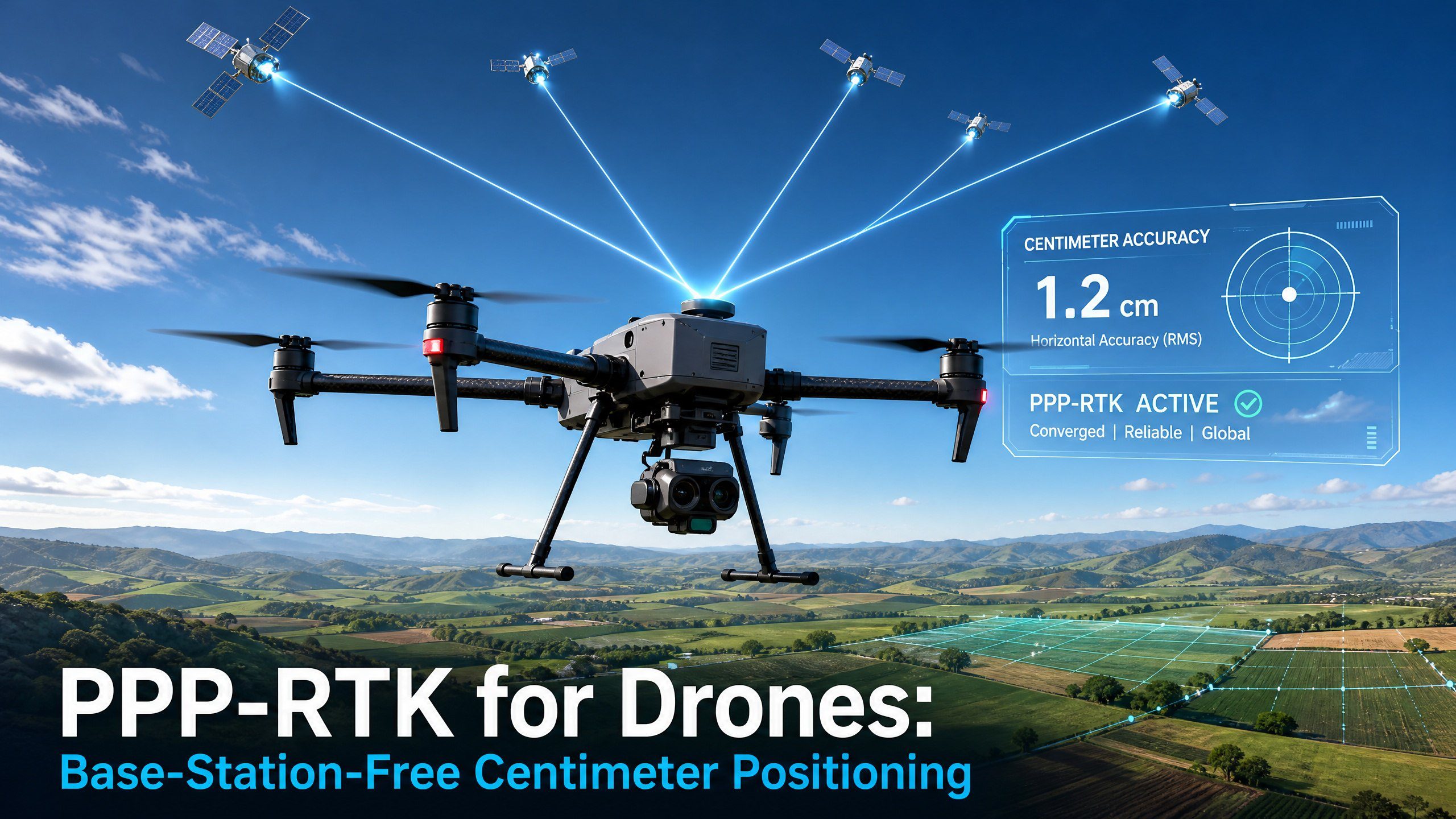
PPP-RTK combines Precise Point Positioning (PPP) with Real-Time Kinematic (RTK) correction techniques to deliver centimeter-level accuracy without requiring a local base station. It represents the convergence of two previously separate GNSS positioning methods.
How PPP-RTK Works
PPP-RTK uses satellite-delivered or internet-streamed corrections that include orbit and clock corrections (like PPP) plus ionospheric and phase bias corrections (like RTK). This enables fast convergence to centimeter accuracy over wide areas. The Septentrio mosaic-G5 supports PPP-RTK through Galileo HAS and commercial correction services.
PPP-RTK vs Traditional RTK
- No local base station needed
- Works across entire regions without setting up reference stations
- Convergence time: 30 seconds to 2 minutes (vs instant for RTK)
- Accuracy: 2-5 cm (vs 1-3 cm for local RTK)
- Ideal for: Large-area surveying, remote operations, cross-border flights
PPP-RTK for UAV Operations: Benefits
- Eliminates need for base station setup in field
- Enables seamless operations across large geographic areas
- Reduces equipment cost (no radio link for corrections)
- Works in areas without cellular coverage (via satellite delivery)
How PPP-RTK Converges Two GNSS Technologies
To understand PPP-RTK, it helps to know its parent technologies:
PPP (Precise Point Positioning) uses satellite orbit and clock corrections to achieve decimeter-level accuracy with a single receiver, anywhere in the world. The tradeoff is slow convergence — typically 15-30 minutes to reach centimeter-level accuracy. It relies on global correction products from services like Galileo HAS, Trimble RTX, or CNES.
RTK (Real-Time Kinematic) uses a local base station or NTRIP network to compute differential corrections, achieving 1-3 cm accuracy almost instantly. The tradeoff is the need for nearby reference stations — typically within 20-40 km — limiting coverage in remote areas.
PPP-RTK combines the best of both: the global coverage of PPP with the fast convergence and accuracy of RTK. It achieves this by adding regional ionospheric and tropospheric corrections and phase bias information to standard PPP correction streams. The result is 2-5 cm accuracy with convergence times of 30 seconds to 2 minutes, without requiring a local base station.
Technical Architecture: How PPP-RTK Actually Works
Correction Components
PPP-RTK corrections include several layers of data that a standard GNSS receiver needs to compute precise positions:
- Satellite orbit corrections: Precise ephemeris data that improves on the broadcast navigation message, typically accurate to 2-5 cm
- Satellite clock corrections: High-precision clock offsets that remove timing errors in the satellite transmitters
- Code biases: Hardware delays in satellite and receiver signal paths that vary by frequency and signal type
- Phase biases: Fractional cycle biases that enable integer ambiguity resolution — the key to fast RTK-like convergence
- Ionospheric corrections: Regional ionospheric models that reduce the dominant error source for single-frequency users
Delivery Methods
PPP-RTK corrections reach the receiver through several channels:
- Satellite broadcast: Galileo HAS broadcasts corrections directly through the E6-B signal (1191.795 MHz), with global coverage at no cost
- NTRIP over cellular: Commercial services like Septentrio’s own correction network, Trimble RTX, or regional CORS networks stream corrections via the internet
- L-band satellite: Dedicated L-band transponders on geostationary satellites provide corrections without cellular coverage
- Local broadcast: For fleet operations, a single base station can generate and broadcast PPP-RTK corrections to multiple drones over a wide area
PPP-RTK Performance in Real-World Drone Operations
| Parameter | PPP-RTK | Traditional RTK | Standalone PPP |
|---|---|---|---|
| Accuracy (horizontal) | 2-5 cm | 1-3 cm | 5-20 cm |
| Accuracy (vertical) | 4-8 cm | 2-5 cm | 10-30 cm |
| Convergence time | 30s – 2 min | Instant | 15-30 min |
| Range | Global | 20-40 km from base | Global |
| Base station needed? | No | Yes | No |
| Cellular needed? | Optional | Yes (NTRIP) or radio link | No |
| Best for | Remote ops, large areas, cross-border flights | Local precision work | Non-RTK applications |
Implementing PPP-RTK with Septentrio Receivers
Septentrio mosaic-X5 and mosaic-G5 receivers support PPP-RTK through multiple correction sources. Setting up PPP-RTK on these receivers is straightforward:
Via Galileo HAS (Free)
- Ensure the receiver firmware supports HAS (version 4.10 or later)
- Configure the receiver to track the Galileo E6-B signal
- Enable HAS corrections in the receiver settings via RxTools or webUI
- The receiver automatically decodes corrections and applies them to RTK positioning
- Typical convergence: 5-20 minutes for first fix, 30s-2min for subsequent sessions
Via Commercial NTRIP Service
- Subscribe to a PPP-RTK correction service (e.g., Septentrio Altus NRTP, Trimble RTX)
- Configure NTRIP client on the receiver with service credentials
- Set correction format to RTCM 3.3 MSM with SSR corrections
- The receiver processes corrections and outputs RTK-quality positions after brief convergence
PPP-RTK vs PPK: When Each Makes Sense
Post-Processed Kinematic (PPK) is another method that eliminates the need for real-time correction links. Here’s the comparison:
- PPP-RTK: Real-time corrections, no post-processing needed, instant results in the field. Best for live operations where you need position feedback immediately.
- PPK: Log raw data and process later against a base station. No correction link needed during flight, but results aren’t available until post-mission. Best for surveying where live feedback isn’t critical.
- Hybrid approach: Use PPP-RTK for live positioning and log raw data simultaneously. If PPP-RTK quality degrades, process PPK as a fallback. This gives you both real-time results and a best-possible final product.
PPP-RTK Use Cases for Drone Operations
PPP-RTK is particularly valuable for these drone applications:
- Large-area surveying: Covering 100+ hectares in a single flight without setting up base stations at each launch site
- Cross-border operations: Drones flying across country borders where local base station networks change
- Remote infrastructure inspection: Power lines, pipelines, and cell towers in areas without cellular or base station coverage
- Maritime operations: Offshore inspections, ship-to-shore logistics, and coastal surveying where no land-based reference is available
- Emergency response: Rapid deployment in disaster zones where setting up base stations is impractical
Related GNSS Products
- HB21 GNSS Box Receiver — All-in-one RTK receiver with 4G LTE, heading, and data logging
- HB6 GNSS Box Receiver — Compact RTK receiver powered by Septentrio Mosaic X5
- EV322 GNSS Receiver — Lightweight RTK receiver for UAVs and autonomous systems
- AIM+ Anti-Jamming Technology — Advanced interference and spoofing protection
Browse our full GNSS receiver collection for professional UAV applications.
Frequently Asked Questions
What is the difference between PPP-RTK and traditional RTK for drones?
PPP-RTK doesn’t require a local base station — corrections come via satellite or internet from a regional network. This means you get centimeter accuracy across entire countries without setting up reference stations. The tradeoff is slower convergence (30 sec to 2 min vs instant for RTK) and slightly lower accuracy (2-5 cm vs 1-3 cm).
Does PPP-RTK work in areas without cellular coverage?
Yes — that’s one of its main advantages. Galileo HAS delivers PPP-RTK corrections via satellite directly to the receiver, no internet connection needed. This makes PPP-RTK ideal for remote surveying, search and rescue in wilderness, and cross-border drone operations where cellular roaming is unreliable.
Which Septentrio receivers support PPP-RTK?
The Septentrio mosaic-G5 and mosaic-X5 both support PPP-RTK through Galileo HAS (free) and commercial correction services. The mosaic-G5 P3 is particularly well-suited for PPP-RTK due to its advanced multi-frequency tracking and low power consumption at 0.44W.
Can I switch between RTK and PPP-RTK during a single drone mission?
Yes. Many operators use a hybrid approach — RTK for the primary operating area (maximum precision) and PPP-RTK for transit or when moving beyond base station range. Septentrio receivers can be configured to accept both correction types and seamlessly switch based on availability.