The Value-Adding Effect of Septentrio’s Multi-Constellation GNSS on UAV Operations
How Septentrio multi-constellation GNSS adds value to drone operations: GPS, GLONASS, Galileo and BeiDou tracking for reliability, accuracy and availability.
Practical GNSS guides, how-tos and technical explainers.

How Septentrio multi-constellation GNSS adds value to drone operations: GPS, GLONASS, Galileo and BeiDou tracking for reliability, accuracy and availability.
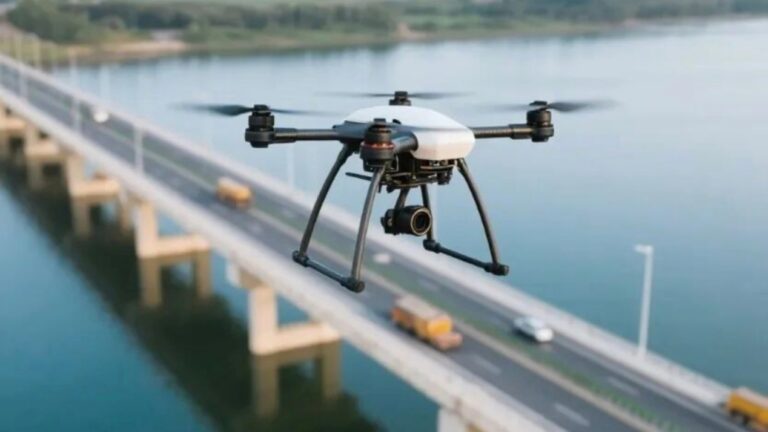
By integrating the AsteRx-m3 pro high-precision GNSS receiver, the ArduPilot flight control system gains military-grade AIM+ anti-jamming and anti-spoofing technology, centimeter-level RTK positioning, and high-precision dual-antenna heading capabilities. This significantly enhances the operational reliability, positioning accuracy, and autonomous capabilities of UAVs in complex electromagnetic environments such as power line inspection and precision surveying, elevating the navigation performance of the open-source flight control system to a professional commercial level.
Discover the Septentrio mosaic-X5 GNSS receiver for construction machinery. AIM+ anti-interference, 100 Hz update rate, and centimeter-level accuracy for excavator, dozer and mining truck machine control.
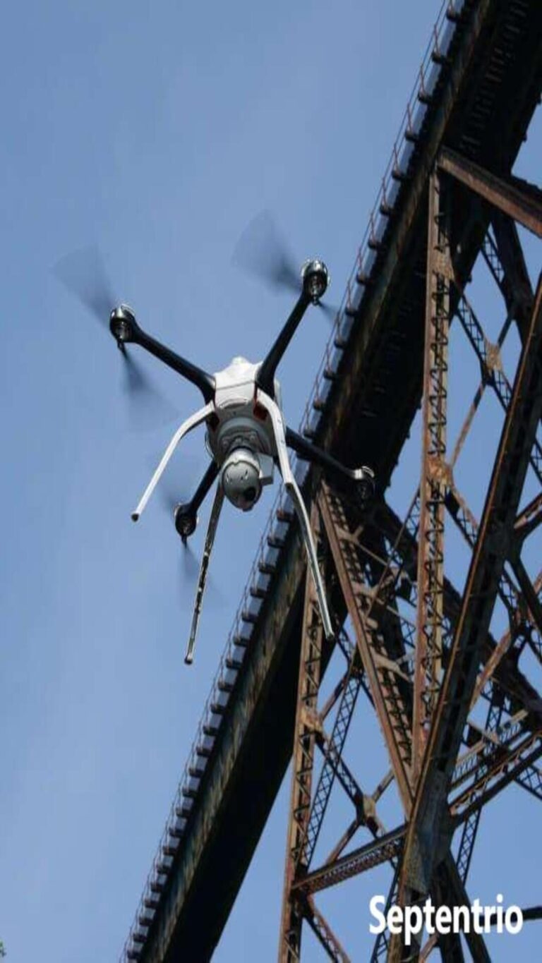
Discover the Septentrio mosaic-G5 P3H for inspection drones: dual-antenna heading, RTK accuracy and AIM+ anti-jamming for reliable infrastructure flights.
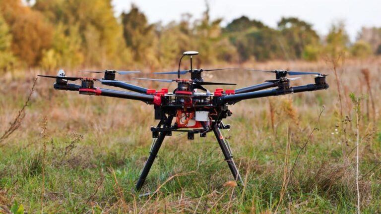
Discover the Septentrio mosaic-X5 for drone-based surveying: RTK accuracy, fast convergence and AIM+ anti-jamming for professional survey-grade mapping.
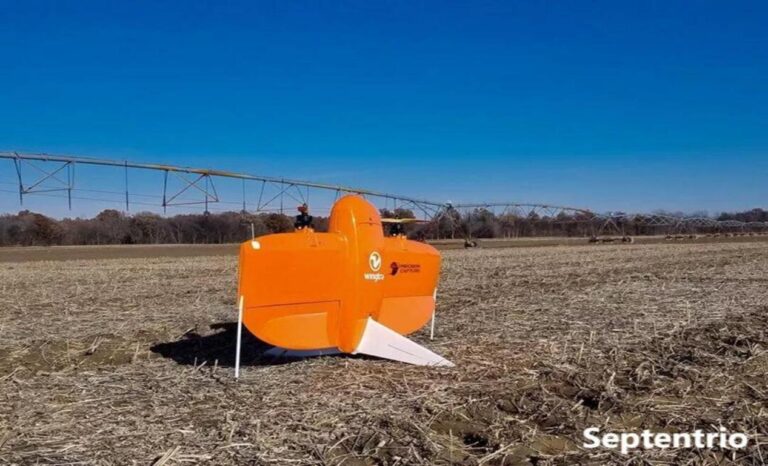
Upgrade your surveying drone with the Septentrio Mosaic-G5 P3H dual-antenna module: 0.08 degree heading precision and centimeter positioning.

Discover the Septentrio mosaic-T for drone swarms: timing synchronization, multi-constellation tracking and precise positioning for formation operations.
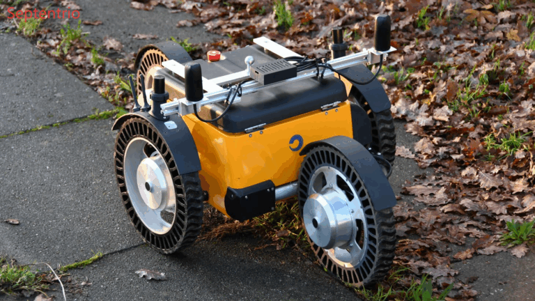
Discover the Septentrio mosaic-X5 as a precision positioning tool for UAVs: RTK accuracy, multi-constellation tracking and AIM+ anti-jamming.
Discover the Septentrio mosaic-X5 for land monitoring drones: centimeter-level topographic mapping, change detection and AIM+ anti-jamming protection.