

Septentrio AsteRx m3 Pro+ GNSS receiver: Vehicle-mounted drone
The Septentrio AsteRx-M3 Pro for vehicle-mounted drone systems: survey-grade RTK positioning, AIM+ anti-jamming and robust multi-constellation tracking.
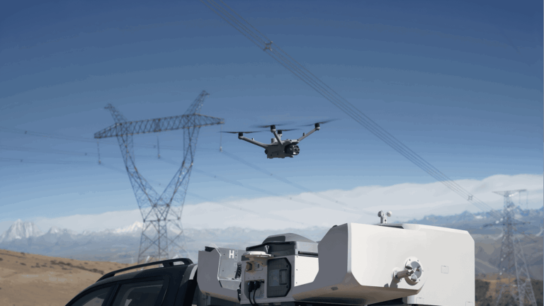
The Septentrio AsteRx-M3 Pro for vehicle-mounted drone systems: survey-grade RTK positioning, AIM+ anti-jamming and robust multi-constellation tracking.
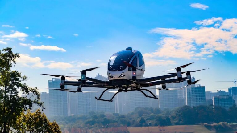
Discover the Septentrio mosaic-X5 for tourism and entertainment drones: precise waypoint navigation and centimeter-level positioning for safe shows.
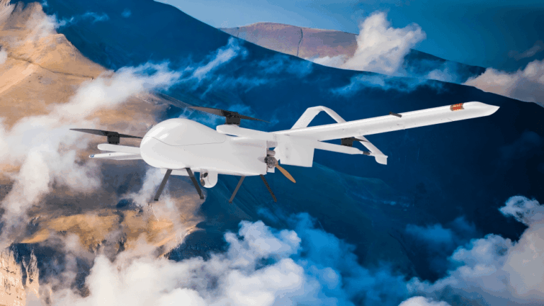
Discover the Septentrio mosaic-X5 for communication relay drones: centimeter precision for hover positioning, AIM+ anti-jamming and GNSS reliability.
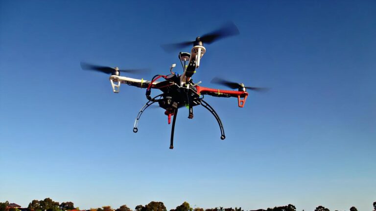
Discover the Septentrio mosaic-X5 for land monitoring drones: centimeter-level topographic mapping, change detection and AIM+ anti-jamming protection.