Septentrio Mosaic-G5 P3H: Dual-Antenna RTK GNSS for Surveying Drones
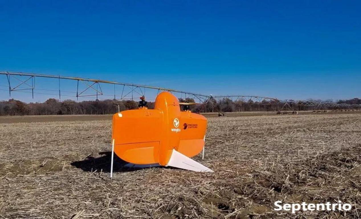
Surveying drones have become indispensable tools for land surveyors, mapping professionals, and geospatial engineers. The accuracy of the final deliverables — orthomosaics, point clouds, contour maps — depends entirely on the quality of the GNSS positioning during flight. The Septentrio Mosaic-G5 P3H brings dual-antenna heading capability to UAV surveying, delivering the heading accuracy previously only achievable with much larger, more expensive inertial navigation systems.
For survey-grade drone mapping, single-antenna GNSS receivers have a fundamental limitation: they cannot determine absolute heading (yaw) when the UAV is stationary or moving slowly. The Septentrio Mosaic-G5 P3H solves this with a GNSS compass that measures heading directly from carrier-phase differences between two antennas, maintaining sub-degree yaw accuracy regardless of flight speed.
Why Dual-Antenna Heading Matters for Drone Surveying
Research published in MDPI Sensors demonstrates that dual-antenna GNSS/INS sensors improve heading precision by up to a factor of five compared to single-antenna systems at typical UAV survey speeds below 5 m/s. For LiDAR survey missions, where every degree of heading error translates into meters of point cloud displacement at range, the difference between 0.37° (single-antenna) and 0.08° (dual-antenna) heading precision is the difference between survey-grade and reconnaissance-grade data.
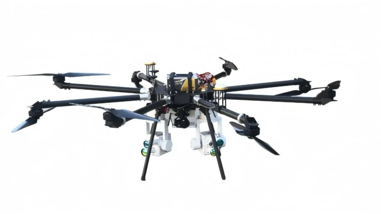
The Mosaic-G5 P3H module, paired with the EV322 GNSS receiver, delivers this dual-antenna performance in a compact form factor that integrates directly into UAV autopilots via standard UART or USB interfaces. The module weighs only 19 g and consumes under 1 W — negligible impact on flight time.
Heading Precision: The Surveying Drone’s Secret Weapon
In traditional aerial surveying, heading is derived from the INS gyroscopes and the direction of travel. When the drone enters a hover to capture an oblique image or orbits a structure for a 3D model, velocity drops below the threshold where heading can be reliably estimated from GPS Doppler. The result is yaw drift that corrupts bundle adjustment and introduces systematic error in the final model.
The Mosaic-G5 P3H eliminates this problem entirely. By processing carrier-phase measurements from two antennas separated by a known baseline, it computes true heading as a direct GNSS observable. This GNSS compass function works at zero velocity, making it ideal for the multi-angle photography and hovering waypoints common in modern drone surveying workflows.
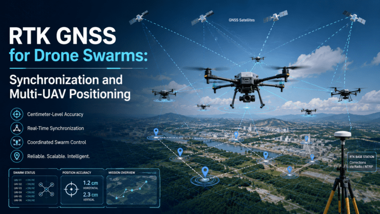
For teams using the HB6 GNSS box receiver as a base station, the Mosaic-G5 P3H on the rover delivers RTK corrections that, combined with the heading solution, produce fully georeferenced camera stations with absolute orientation. This enables direct georeferencing — eliminating ground control points (GCPs) for many survey projects.
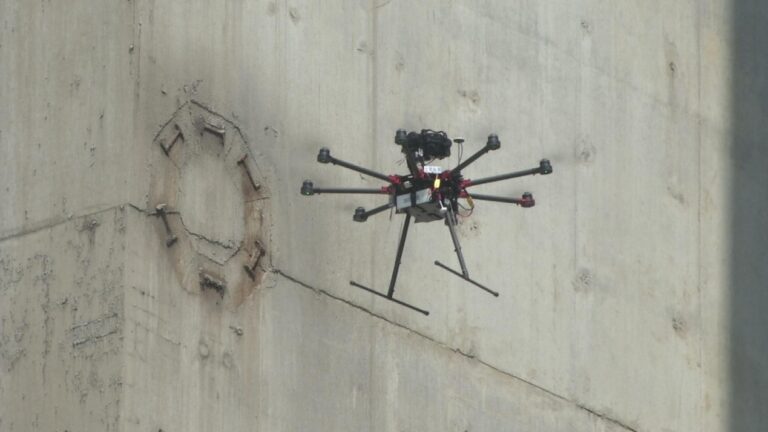
Anti-Jamming for Survey Operations in Urban Environments
Surveying drones frequently operate near power lines, cell towers, and industrial facilities — environments rich in radio-frequency interference that degrades GNSS performance. The Mosaic-G5 P3H includes Septentrio’s AIM+ resilient GNSS technology, which continuously monitors the spectrum and applies adaptive filtering to suppress interference while maintaining lock on authentic signals.
This is particularly important for dual-antenna heading, which relies on precise carrier-phase measurements from both antennas. If one antenna experiences interference-induced cycle slips while the other does not, the heading solution degrades. AIM+ ensures both signal paths are equally protected, maintaining heading integrity even in challenging RF environments.
Surveying Drone Applications That Benefit Most from Dual-Antenna GNSS
Topographic Mapping at Scale
Large-area topographic surveys covering hundreds of hectares rely on accurate camera station positions for photogrammetric reconstruction. With the Mosaic-G5 P3H providing both position and heading, the bundle adjustment converges faster and produces more consistent results across overlapping strips. Surveyors report reduced strip-to-strip misalignment from meter-level with consumer GNSS to sub-5 cm with dual-antenna RTK.
Corridor Mapping (Roads, Pipelines, Power Lines)
Linear infrastructure surveys demand consistent heading along the corridor axis. A constant heading bias from single-antenna drift manifests as a systematic lateral shift that accumulates over kilometers. Dual-antenna heading from the Mosaic-G5 P3H eliminates this accumulation, keeping the corridor mapping within survey tolerances.
Stockpile Volume Measurement
Mining and quarry operations require regular stockpile volume calculations for inventory management. Flown with the HB21 GNSS box receiver base station and a dual-antenna rover, stockpile surveys achieve volume accuracy within 1-2%, reliably replicable month after month — critical for financial reporting and production planning.
Precision Agriculture Field Mapping
Drainage mapping, elevation modeling, and variable-rate application planning all depend on accurate vertical and horizontal positioning. The Mosaic-G5 P3H’s multi-constellation tracking (GPS, GLONASS, BeiDou, Galileo) ensures robust sky coverage even in fields with tree lines, hills, or farm structures that partially obscure the sky.
Integration with Survey Workflows
The Mosaic-G5 P3H outputs standard NMEA sentences, RTCM corrections, and proprietary Septentrio SBF logs. It integrates directly with Pixhawk, Cube, and other ArduPilot/PX4-based flight controllers. Raw observation data can be post-processed in any PPK (Post-Processed Kinematic) software package.
For further reading on dual-antenna GNSS performance, refer to MDPI Sensors research on single-antenna vs dual-antenna GNSS/INS in UAS-LiDAR applications and GPS.gov performance standards.
Why the Mosaic-G5 P3H Is the Right GNSS Receiver for Surveying Drones
- Dual-antenna GNSS compass with 0.08° heading accuracy at 1 m baseline
- Centimeter-level RTK positioning for survey-grade deliverables
- AIM+ anti-interference for reliable operation near power lines and infrastructure
- Multi-constellation tracking (GPS, GLONASS, Galileo, BeiDou)
- Functions at zero velocity — heading available even while hovering
- Compact 19 g form factor for payload-constrained platforms
- Compatible with Pixhawk, Cube, ArduPilot, and PX4 flight controllers
For survey professionals requiring the highest heading accuracy from their UAV platforms, the Septentrio Mosaic-G5 P3H delivers the precision that separates professional survey results from reconnaissance-grade data.