Rail is one of the last major industries to adopt satellite positioning for safety-critical operations — and that is changing fast. In Europe, the ERTMS/ETCS signalling programme is validating GNSS-based virtual balises that can replace physical trackside beacons costing up to €300 each to maintain. In the United States, GPS-based Positive Train Control (PTC) already operates across roughly 60,000 miles of track, with Wabtec installing Septentrio GNSS receivers in its GoLINC platform on Class I railroads. In container ports, RTK GNSS steers rubber-tired gantry cranes to ±2 cm and tracks every straddle carrier in real time. And with more than 90% of the world’s estimated 5.2 million rail freight wagons still lacking real-time visibility, the telematics opportunity alone is enormous.
This guide explains how GNSS train positioning works — from virtual balises and fail-safe positioning to yard automation and freight telematics — and what to look for in a rail-grade GNSS receiver.
Why Rail Is Moving to GNSS Train Positioning
Conventional train control relies on trackside infrastructure to determine where a train is. Odometers measure distance, balises (physical transponders between the rails) correct accumulated error, and track circuits or axle counters confirm section occupancy. It works, but it is expensive to install and maintain and scales poorly to low-traffic regional lines where full signalling has never had a business case.
GNSS changes the economics. A train carrying a multi-constellation receiver with augmentation can determine its position to meter-level or even centimeter-level accuracy using satellites alone. That removes the need for much of the trackside estate:
- Virtual balises replace physical balises. Instead of installing a Eurobalise every few kilometres, the signalling designer defines a logical location (e.g. km 12+232) in software; the train’s balise reader reports it when the receiver crosses that point. At up to €300 per unit per year in maintenance, virtual balises eliminate that cost entirely.
- Moving block becomes practical. If every train knows exactly where it is, trains can run closer together (ETCS Level 2 with moving block), increasing line capacity without new track.
- Regional lines get signalling. Europe’s EGNOS4Rail programme targets low-traffic regional lines precisely because satellite-based positioning makes safety systems affordable there.
- Decarbonisation and digitalisation push. The European Green Deal includes roughly €87.5 billion in rail infrastructure investment, and new EU State aid rules now make EGNSS integration within ERTMS explicitly eligible for public funding — a signal that satellite-based signalling is policy-backed, not experimental.
How GNSS Train Positioning Works in ERTMS/ETCS
From Physical Balises to Virtual Balises
In the virtual balise (VB) concept, the train’s onboard Virtual Balise Reader compares the GNSS-derived position of the roof antenna — projected onto the track — against a list of balise coordinates stored onboard. When the position matches a stored location, it reports the corresponding balise telegram to the Eurocab computer, exactly as a physical balise would. To the signalling system nothing changes; to the infrastructure manager, kilometres of trackside hardware disappear.
Fail-Safe Train Positioning Needs More Than GNSS Alone
Research across the EU’s Europe’s Rail programme (six demonstrators on Fail-Safe Train Positioning, or FSTP) concluded that GNSS alone cannot guarantee fail-safe position and speed. The solution is a Safe Fusion Algorithm combining GNSS with onboard sensors — wheel speed sensors, accelerometers, gyroscopes, and digital maps. Demonstrations on real Italian lines showed position errors below five metres with local augmentation and under three metres in post-processing; with EGNOS, errors typically hover around five metres. RTK or PPP pushes that down to centimeters where needed.
Augmentation: The Missing Integrity Layer
Rail signalling requires integrity — the system must know when its position estimate is unsafe. This is where augmentation services come in:
- SBAS (EGNOS): broadcasts integrity and correction data. A rail-suitable multi-frequency EGNOS is in development, with initial results expected around 2027; today’s version already supports freight and dangerous-goods monitoring.
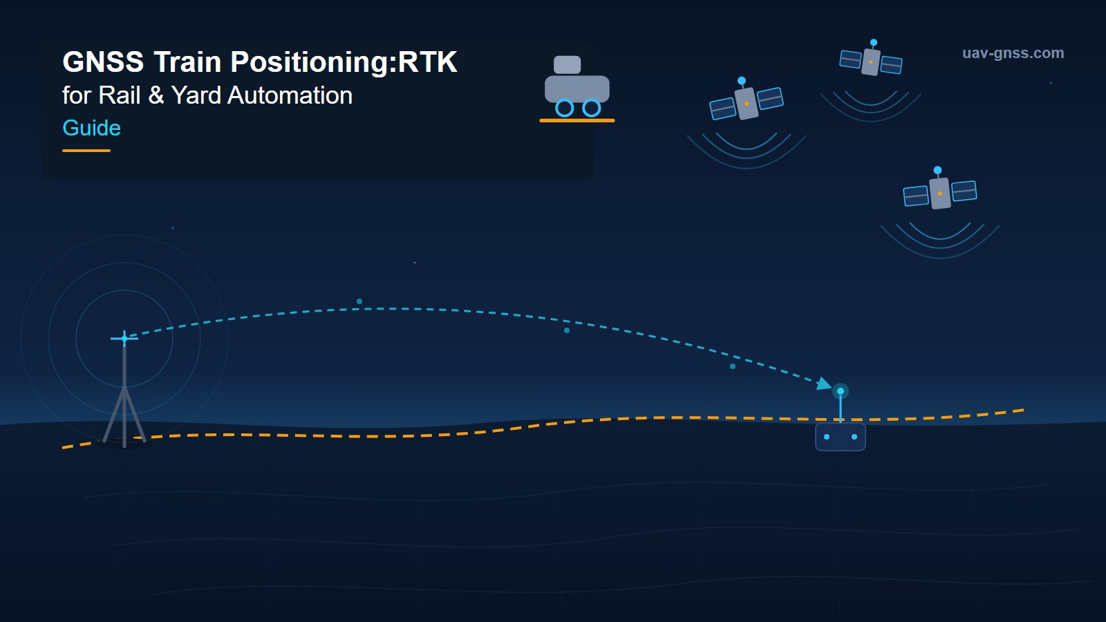
- Local augmentation networks: reference receivers along the route broadcast corrections to trains, as demonstrated by the Europe’s Rail virtual balise demo in Italy.
- OSNMA and HAS: The EGNSS MATE project (Swiss Federal Railways, iABG, DLR) tested Galileo OSNMA authentication and High Accuracy Service PPP corrections — both promising for rail.
- Jamming and spoofing resilience: extensive tests across the Swiss rail network confirmed that receivers need active interference mitigation — not just better accuracy — to survive the real-world RF environment.
Positive Train Control: GNSS at Scale in the US
Across the Atlantic, GPS-based Positive Train Control (PTC) is not a pilot — it is federal law. PTC systems prevent train-to-train collisions, overspeed derailments, work-zone incursions, and movement through improperly lined switches, covering approximately 60,000 miles of track and 20,000 locomotives. The dominant architecture, I-ETMS, is GPS-based and FRA type-approved.
The scale of GNSS deployment is striking: Wabtec’s GoLINC Edge platform, which powers PTC for Class I freight railroads, installs two Septentrio GNSS receivers on every locomotive plus position reference modules along 30,000 miles of track. The base-station modules broadcast RTK corrections, and the onboard rovers combine multi-constellation, multi-band GNSS with IMU and magnetometer data. That precision infrastructure is also reused for drone-based rail inspection and track surveying.
The lessons for any rail GNSS programme: certify receivers to railway standards (Wabtec’s support draft S-9103/S-9102 and are I-ETMS certified), build in redundancy (two receivers per locomotive), and treat the correction network as shared infrastructure.
GNSS for Yard Automation and Terminal Logistics
Beyond the main line, the most commercially mature GNSS rail applications sit inside container terminals and marshalling yards, where centimeter accuracy directly moves boxes.
RTG Autosteering and Container Tracking
Rubber-tired gantry (RTG) cranes are free-roaming — they can travel anywhere in the yard — but that freedom makes precise travel and stopping control hard. RTK GNSS solves it: position accuracy better than ±2 cm at 20 Hz update, with heading accuracy around 0.1° using a two-meter antenna baseline. The crane control system steers the RTG along predetermined routes as if rail-mounted, while the terminal system logs exactly where every container was picked up and set down — no trackside equipment in the yard surface.
Straddle Carriers and Terminal-Wide RTLS
Ports deploy real-time locating systems fusing D-GNSS-RTK with UWB and Bluetooth to track every crane, straddle carrier, and worker. At Long Beach Container Terminal, automated entry gates only admit tagged equipment, and dynamic safety zones activate on connection loss. Digital twin software turns these positions into a live terminal model for fleet management, collision avoidance, and in-cab navigation.
Freight Rail Telematics: The 5.2 Million Railcar Opportunity
More than 90% of the world’s estimated 5.2 million rail freight wagons have no real-time visibility. Railcar telematics changes that: a solar- or battery-powered gateway on each wagon reports position via GNSS (GPS, GLONASS, BeiDou, Galileo) alongside brake health, load status, temperature, and door or hatch state. Shippers get track-and-trace; operators get dwell-time analytics, mileage-based maintenance, and cargo-condition monitoring for tankers and refrigerated units.
Telematics is the entry point for GNSS in rail: non-safety-critical, it can be deployed today with standard receivers and cellular backhaul, building the data infrastructure that safety-critical signalling will later rely on.
GNSS Receiver Requirements for Rail Applications
| Requirement | Main-Line Signalling (ERTMS/PTC) | Yard Automation (RTG, AGV) | Freight Telematics |
|---|---|---|---|
| Positioning accuracy | <1 m SBAS / cm-level RTK for virtual balises | ±2 cm RTK | 1–5 m standard GNSS |
| Update rate | 1–10 Hz | 10–20 Hz | 1 Hz with sleep modes |
| Integrity | RAIM/FDE, safety certification (SIL 4 context) | Fix confidence, RTK Fixed monitoring | None required |
| Interference resilience | Essential — jamming/spoofing tested (EGNSS MATE) | High — RF-dense ports | Nice to have |
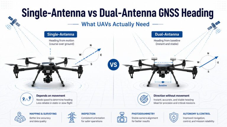
| Heading | Dual-antenna for direction of travel | Dual-antenna, ~0.1° | Course from velocity |
| Environmental | Railway EMC/vibration standards, long lifecycle | IP67, shock, 24/7 duty | Low power, wide temperature, 5–10 year battery |
| Comms | RTCM in (corrections), safe data link | CAN/Ethernet to PLC, radio | 4G/LTE-M/NB-IoT, logging |
Septentrio-Based Receivers for Rail & Logistics
Every receiver below is powered by Septentrio silicon — multi-constellation, multi-frequency tracking, AIM+ interference mitigation, and fast RTK convergence — in form factors suited to locomotives, yard vehicles, and wayside reference stations:
| Product | Module | Key Features | Best For |
|---|---|---|---|
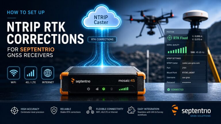
| HB21 GNSS Box Receiver | Mosaic-X5 | AIM+, dual-antenna heading, 4G LTE, data logging | Wayside reference stations, yard base stations, locomotive rovers |
| HB10 Dual-Antenna Receiver | AsteRx-m3 Pro+ | AIM+, 0.15° heading, 100 Hz output | RTG/AGV heading and autosteering |
| HB6 GNSS Box Receiver | Mosaic-X5 | AIM+, IP67, USB/UART/Ethernet | Yard vehicles, test rigs, telematics gateways |
| EV322 GNSS Receiver | Mosaic-G5 P3H | AIM+, triple-band, dual-antenna heading, 48 g | Rail inspection drones, compact OEM integration |
Learn more about AIM+ anti-jamming technology, or browse the full GNSS receiver collection.
Building a Reliable Rail GNSS Architecture
- Plan the correction network as infrastructure. Redundant reference stations broadcasting RTCM on separate channels give rovers a fallback if one base fails and improve availability under signal shadowing.
- Design for GNSS denial. Receivers fused with IMU/odometry coast through tunnels and jamming events; test jamming and spoofing behaviour before certification.
- Demand interference monitoring. A receiver that detects, logs, and reports jamming turns an invisible RF event into documented evidence — critical for safety cases and dispute resolution.
- Match receiver quality to the safety case. For safety-critical positioning, choose receivers with RAIM/FDE, authentication readiness (OS-NMA), and documented long-term performance. Low-cost OEM receivers can diverge unexpectedly — an unacceptable failure mode on a train.
- Start with telematics, grow into signalling. Freight telematics can be deployed today, builds the correction and data infrastructure, and creates the operational confidence that later justifies safety-certified virtual balise systems.
- Future-proof with multi-constellation tracking. Galileo, GPS, GLONASS and BeiDou together provide the satellite diversity that keeps fixes available in cuts, yards, and urban stations — and readies you for OSNMA and HAS as they mature.
Frequently Asked Questions
Q: What is a virtual balise in ERTMS/ETCS?
A virtual balise is a software-defined location along the track instead of a physical transponder. The train’s GNSS-based balise reader detects when the receiver crosses the stored coordinate and reports the associated balise telegram to the ETCS onboard computer — with no trackside hardware to install, power, or maintain.
Q: Can GNSS replace all trackside signalling equipment?
Not yet, and not all of it. GNSS-based virtual balises can replace physical balises where they are used for position correction, and moving-block operation can reduce the need for track circuits and axle counters. But fail-safe train positioning still requires sensor fusion (GNSS + odometry + IMU + digital maps) and integrity monitoring, and certification standards are still maturing.
Q: What accuracy does train positioning actually need?
It depends on the application. Virtual balise detection works with sub-meter accuracy (typically under 5 m with SBAS or local augmentation, better with RTK). Yard automation such as RTG autosteering needs ±2 cm RTK. Freight telematics works fine with standard 1–5 m GNSS.
Q: How is GNSS used in US Positive Train Control?
PTC systems such as I-ETMS use GPS/GNSS to determine locomotive position against a digital track database, enforcing movement authority limits, speed restrictions, and work-zone boundaries.
Q: Why do rail and port applications need dual-antenna GNSS heading?
Rail vehicles and yard cranes operate among steel, power lines, and electromagnetic interference that corrupt magnetometers. Dual-antenna GNSS computes heading from carrier-phase differences between two antennas — accurate to 0.1–0.2° and completely independent of magnetic conditions — which is why it is used for RTG autosteering and crane orientation.
Q: What happens to train positioning when GNSS is jammed or spoofed?
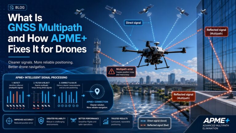
GNSS jamming near railways is increasingly documented, and spoofing is a growing concern for safety-critical systems. Robust receivers mitigate interference at the RF level (AIM+ suppresses jamming across all bands), detect spoofing via signal authentication such as Galileo OSNMA, and — combined with IMU/odometry fusion — keep a bounded position estimate through short outages while alerting the control centre.
Related GNSS Products
- HB21 GNSS Box Receiver — dual-antenna RTK with 4G LTE for wayside reference stations and locomotive rovers
- HB10 Dual-Antenna RTK Receiver — 0.15° heading at 100 Hz for RTG and AGV autosteering
- HB6 GNSS Box Receiver — rugged IP67 RTK receiver for yard vehicles and telematics
- EV322 GNSS Receiver — lightweight triple-band receiver for rail inspection drones
- AIM+ Anti-Jamming Technology — how interference mitigation protects rail and terminal operations