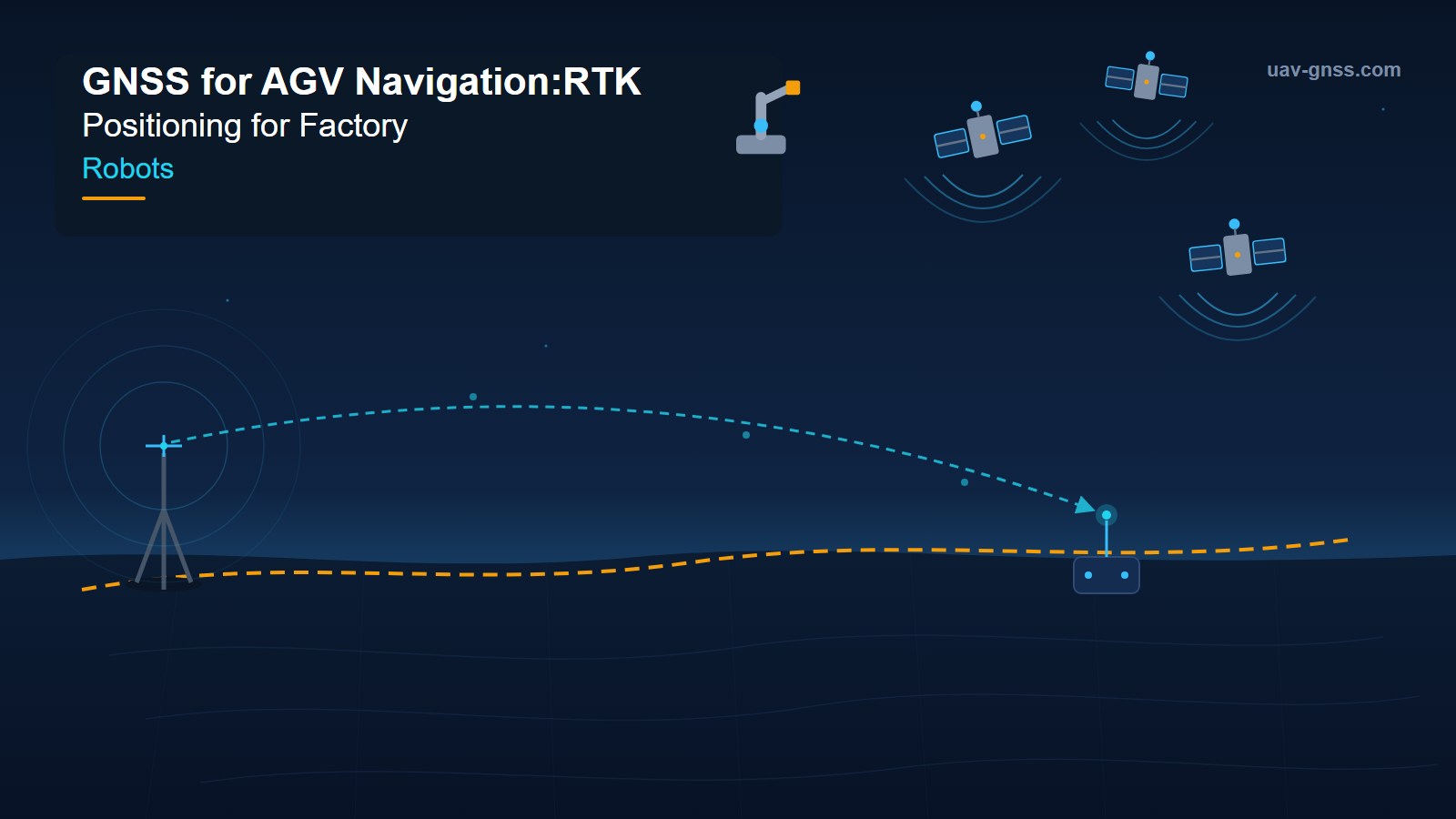
Factory automation is leaving the building. Autonomous guided vehicles (AGVs) and autonomous mobile robots (AMRs) that once worked exclusively inside warehouse walls now cross loading docks to meet trailers, shuttle between production buildings across open yard areas, and deliver parts between unlinked logistics sites. Steel and aluminum producers move payloads between halls; tire plants connect separate production and logistics buildings; cross-dock facilities route goods between dock faces around the clock.
The problem: the positioning technologies that work indoors fail outdoors. SLAM loses reference in open spaces with few distinctive features. Reflectors require mounting infrastructure that outdoor areas rarely justify. Magnetic tape and floor markers weather and degrade. And standard GPS — 2 to 5 meters of accuracy under typical conditions — cannot tell a robot which of two trailer bays spaced 3 meters apart it is approaching, let alone guide a pallet fork into a rack opening. For outdoor industrial robotics, centimeter-level GNSS is no longer optional. It is the positioning backbone.
Why Indoor Localization Breaks at the Dock Door
The moment a robot crosses a threshold into a loading dock area, yard zone, or perimeter road, indoor localization fails. Natural-feature navigation depends on environmental structure to calculate position — and outdoor spaces are defined by the absence of it. Reflector-based AGVs need installed infrastructure that outdoor environments rarely justify. Floor markers fade, crack, and get covered by dirt and forklift traffic. The result is a positioning gap exactly where industrial automation is growing fastest: the hybrid indoor-outdoor campus.
Autonomous trailer loading and unloading is the most immediate use case. Robots must navigate yard areas, locate a specific trailer among rows of bays, and approach the dock door with the precision needed for pallet engagement. Robotic forklifts operate across yard areas connecting multiple buildings. Autonomous tuggers move materials between production buildings, outdoor buffer storage, and shipping areas — a single robot serving an entire campus rather than being confined to one building with its own localization infrastructure.
Vendors of industrial AGV navigation systems have responded by adding high-precision GNSS as an additional data source. BlueBotics’ ANT everywhere extension, for example, runs GNSS with RTK positioning concurrently with odometry, laser data, and IMU, employing whichever data source is most relevant at any moment — and reports the same ±1 cm / ±1° precision outdoors as indoors, with a single GNSS base station per site. The key architectural insight: GNSS is not a replacement for indoor localization. It is the missing outdoor layer in a fused positioning stack.
How RTK GNSS Delivers Centimeter Accuracy to Robots
Real-Time Kinematic (RTK) positioning combines the robot’s GNSS observations with correction data from a reference receiver at a known location. A local base station streams corrections over UHF radio; a network RTK service (CORS or VRS) streams them over the internet via the NTRIP protocol. In both cases, carrier-phase processing resolves the integer ambiguities that limit standard GPS to meter-level accuracy, bringing the rover to 1–2 cm horizontal and 2–3 cm vertical — across yard areas, loading docks, and perimeter zones.
For industrial robots, corrections are typically delivered through the robot’s onboard cellular modem from a regional CORS network or commercial correction service. Data consumption runs roughly 0.5–1 MB per hour of active positioning — negligible next to typical fleet telemetry. Modern multi-constellation receivers achieve an RTK fix within 10–30 seconds under open sky, with re-acquisition after brief obstructions in comparable timeframes.
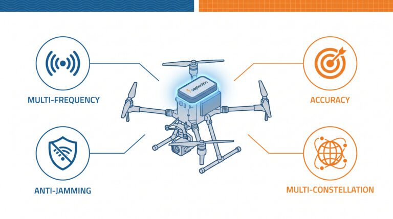
Multi-constellation, multi-frequency tracking is the difference between a robot that works and one that stalls. Building edges, trailer stacks, and yard equipment create signal blockage that single-constellation systems cannot overcome. A receiver tracking GPS, GLONASS, Galileo, BeiDou, and QZSS simultaneously — 40+ satellites — keeps the RTK fix alive in the partially obstructed environments that define factory perimeters. Dual- or triple-frequency reception (L1/L2/L5) eliminates ionospheric delay as an error source and speeds ambiguity resolution.
GNSS Applications Across the Factory Campus
Yard AGVs and Autonomous Tuggers
Moving payloads between buildings — common in steel, aluminum, and tire production — was traditionally handled by manually driven trucks because no single robot could navigate both indoor and outdoor zones. RTK-equipped AGVs eliminate the handoff. Accurate outdoor positioning also enables fleet management systems to coordinate multiple robots across a yard: traffic management prevents conflicts at intersections, dynamic path planning routes around obstacles, and safety systems establish geofenced zones around human work areas and active truck lanes. All depend on accuracy that standard GPS cannot provide.
Loading Dock and Trailer Engagement
An autonomous forklift navigating between trailer bays spaced 3 meters apart needs to know which bay it is approaching — and needs centimeter precision for pallet engagement once it gets there. Network RTK provides the absolute, repeatable positioning that makes this safe. Robots can approach dock doors, verify their position against the bay layout, and transition seamlessly into interior operations where the localization system switches back to laser- or SLAM-based methods.
Cross-Dock and Inter-Building Logistics
Cross-dock facilities require constant movement between inbound and outbound dock faces, often along exterior travel paths connecting separate building sections. RTK positioning lets robots navigate these paths autonomously, replacing manual driving or a second vehicle fleet dedicated to outdoor segments. Manufacturing logistics follows the same pattern: one autonomous fleet can serve an entire campus rather than separate fleets per building.
Outdoor Security, Inspection and Delivery AMRs
Perimeter security robots, outdoor inspection platforms, and last-mile delivery robots share one requirement: reliable outdoor positioning from a staging area through parking lots to designated handoff points — plus autonomous return to charging stations. RTK accuracy turns these routes from assisted teleoperation into true autonomy.
Sensor Fusion: Handling the Indoor-Outdoor Transition
No single sensor family is sufficient across all regimes. In modern robot localization, GNSS plays a specific role: a weak but globally consistent absolute anchor that constrains drift in vehicle-scale SLAM, while LiDAR, cameras, and wheel odometry provide the high-rate motion front-end. When GNSS signals are reliable, RTK fixes keep the global trajectory honest; when they degrade, the fused system carries the robot on inertial and odometric estimates.
Tightly coupled GNSS/INS integration is the recommended architecture for mixed environments. The IMU propagates position and attitude through brief outages caused by building overhangs, dock doors, tree canopy, or tunnel passages — without a full re-acquisition sequence. INS-predicted position also constrains the search space for carrier-phase ambiguity resolution, enabling faster RTK fix recovery after outages. Research published in 2026 shows the state of the art: adaptive multi-sensor fusion combining LiDAR-inertial odometry with RTK-GNSS, using real-time degradation detection to re-weight sensors, maintains centimeter-level positioning over multi-kilometer trajectories while cutting odometry drift by roughly 50% versus LiDAR-only baselines.
Transition zones deserve special attention. As a robot passes through a dock door, satellite visibility is partial and indoor references are degraded — the worst of both worlds. Fusion frameworks blend both data sources during these overlaps, and robust systems degrade gracefully (dropping to a float solution) rather than faulting when corrections stall. A robot that freezes on a 30-second NTRIP outage has a resilience problem; one that switches correction sources or bridges with INS is deployable.
Heading at Low Speed: The Dual-Antenna Solution
AGVs and AMRs operate at walking speed or below — and at those speeds, a moving robot cannot derive heading from velocity. Magnetometers are unreliable near metal structures, electric motors, and crane rails. High-grade gyroscopes are expensive and power-hungry. The industrial solution is dual-antenna GNSS: two antennas on a fixed baseline measure carrier-phase differences to compute true heading regardless of motion. With a 0.5 m baseline, heading accuracy of 0.3° RMS is achievable; a 1 m baseline improves this to approximately 0.15° RMS. This matters for point turns in narrow aisles, dock alignment, and pallet pickup — maneuvers where the robot is stationary or barely moving, and where drift-free heading is a safety requirement.
Fleet-Scale Positioning: Corrections, Datum and Integrity
Centimeter-level positioning is quickly becoming a baseline expectation rather than a differentiator for industrial robots — which shifts the engineering challenge to fleet-scale infrastructure. End-to-end correction latency, from reference station observation to rover application, should stay below 2–3 seconds; beyond that, corrections describe atmospheric conditions that no longer match the rover’s environment. RTCM 3.x MSM7 is the conservative choice for mixed fleets, and NTRIP clients need reconnection logic with exponential backoff and fallback mountpoints.
At fleet scale, provisioning matters as much as accuracy. Hardcoded credentials do not scale to 200 robots; modern fleets pull mountpoint assignments dynamically from an API, with credentials grouped by site, work zone, or vehicle class. That enables selective correction streams (denser streams for precision operations, broader coverage for logistics robots), staged rollouts of configuration changes, and root-cause analysis when multiple devices share the same correction stream. Every site also needs a documented datum strategy: one site coordinate system, the transformation applied at exactly one layer, verified against control points at commissioning.
Finally, plan for the tail of the accuracy distribution. Positioning excursion events — where accuracy degrades beyond application tolerance — occur rarely per device but frequently across a fleet: a 0.5% excursion rate is roughly one event per device per 200 operating hours, or one event somewhere in a 100-device fleet every two hours. Evaluate correction providers on 99th-percentile tail performance, log fix-quality metadata alongside position data, and design the safety architecture accordingly. Correction delivery is also evolving: PPP-RTK services broadcast state-space corrections over L-band satellite or IP, cutting cellular data use by up to 90% versus traditional network RTK and eliminating per-site base stations — significant for fleets deployed across multiple campuses.
What to Look For in a GNSS Receiver for Industrial Robotics
- Multi-constellation, multi-frequency tracking: GPS, GLONASS, Galileo, BeiDou (and QZSS where available) on L1/L2/L5 for maximum availability near buildings and trailer stacks.
- RTCM 3.x correction input with NTRIP support: Compatibility with any standards-compliant correction source — local base, CORS network, or PPP-RTK service.
- High update rate: 10 Hz or higher output for control loops on moving robots.
- Tightly coupled IMU or dead-reckoning integration: To bridge signal blockage and speed RTK re-convergence after outages.
- Dual-antenna heading: True heading at any speed without magnetometers — essential for AGVs and dock maneuvering.
- Anti-jamming and anti-spoofing: Factories concentrate RF noise — motors, welding, and nearby jammers. AIM+ style detection and mitigation keeps robots fixed and safe.
- Multipath rejection: Maintains accuracy near metal structures, racks, and building edges where reflections are constant.
- Rugged, machine-ready packaging: IP67 enclosures, wide temperature ranges, and simple mounting for direct installation on vehicles.
- Open interfaces: NMEA, RTCM, USB/serial/Ethernet, and CAN output with PX4/ArduPilot and ROS compatibility for straightforward integration into autonomy stacks.
Septentrio-Powered Receivers for Industrial Robotics
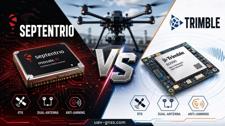
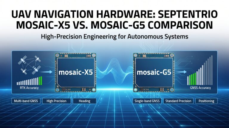
Septentrio’s mosaic-X5 and mosaic-G5 receiver families are built for exactly this world. They track all constellations and frequencies used by today’s correction services, embed the GNSS+ technology suite — AIM+ interference and spoofing mitigation, APME+ multipath suppression, LOCK+ robust tracking — and expose open interfaces that integrate cleanly into ROS-based robot stacks. For integrators and OEMs building industrial robots, uav-gnss.com offers ready-to-deploy receivers powered by these modules:
- HB21 GNSS Box Receiver — All-in-one RTK receiver with dual-antenna heading and 4G NTRIP, ideal for yard AGVs and tuggers that need absolute position and heading in one box.
- HB6 GNSS Box Receiver — Compact quad-constellation RTK receiver powered by the Septentrio mosaic-X5 for space-constrained robot platforms.
- EV322 GNSS Receiver — Lightweight mosaic-G5-based receiver with plug-and-play PX4/ArduPilot compatibility for smaller AMRs and inspection robots.
All three support multi-constellation tracking, dual-antenna heading options, and the AIM+ resilient GNSS technology that protects against jamming and spoofing around industrial facilities. Browse the full GNSS receiver collection for factory automation and robotics applications.
Frequently Asked Questions
Q: Can AGVs use GNSS positioning indoors?
A: No — GNSS signals do not penetrate building structures reliably. The standard architecture is hybrid: laser/SLAM or reflector-based localization indoors, RTK GNSS outdoors, and sensor fusion that blends both during transition zones such as dock doors and covered walkways.
Q: What accuracy does an outdoor AGV actually need?
A: Yard navigation between buildings typically requires 10–20 cm; trailer bay identification and pallet engagement require 1–2 cm. Standard GPS delivers 2–5 m — enough to know which building you are near, not enough to know which dock bay you face. RTK (1–2 cm horizontal) covers both needs.
Q: Local base station or network RTK service?
A: For a single site, a local base station is simple and self-contained. For fleets across multiple campuses, network RTK via NTRIP (or a PPP-RTK service) removes infrastructure maintenance and scales per robot. Most modern receivers support both — the choice becomes a fleet-management decision rather than a hardware decision.
Q: What happens when the robot loses GNSS for a few seconds?
A: With tightly coupled GNSS/INS, the IMU propagates position and attitude through the outage, and the INS-predicted position speeds up RTK re-convergence when signals return. The robot should degrade gracefully — hold accuracy with inertial estimates, then re-fix — rather than stop or fault.
Q: Why do industrial robots need dual-antenna GNSS heading?
A: At walking speed or below, heading cannot be derived from motion, and magnetometers fail near metal structures and electric motors. Dual-antenna carrier-phase heading delivers 0.15–0.3° accuracy regardless of speed — including when the robot is stationary for dock alignment or pallet pickup.
Q: How vulnerable are factory robots to GNSS jamming and spoofing?
A: Industrial sites concentrate RF interference from motors, welding, and communications equipment, and jamming incidents are rising globally. Receivers with AIM+ style mitigation detect and suppress interference and spoofing automatically, keeping the RTK fix stable — a practical safety requirement for autonomous machinery.
Related GNSS Products
- HB21 GNSS Box Receiver — RTK receiver with dual-antenna heading and 4G NTRIP for yard AGVs and autonomous tuggers
- HB6 GNSS Box Receiver — Compact quad-constellation RTK receiver powered by Septentrio mosaic-X5
- EV322 GNSS Receiver — Lightweight RTK receiver for AMRs and outdoor inspection robots
- AIM+ Anti-Jamming Technology — Advanced interference and spoofing protection for GNSS-dependent industrial machinery
Browse our full GNSS receiver collection for professional industrial robotics applications.