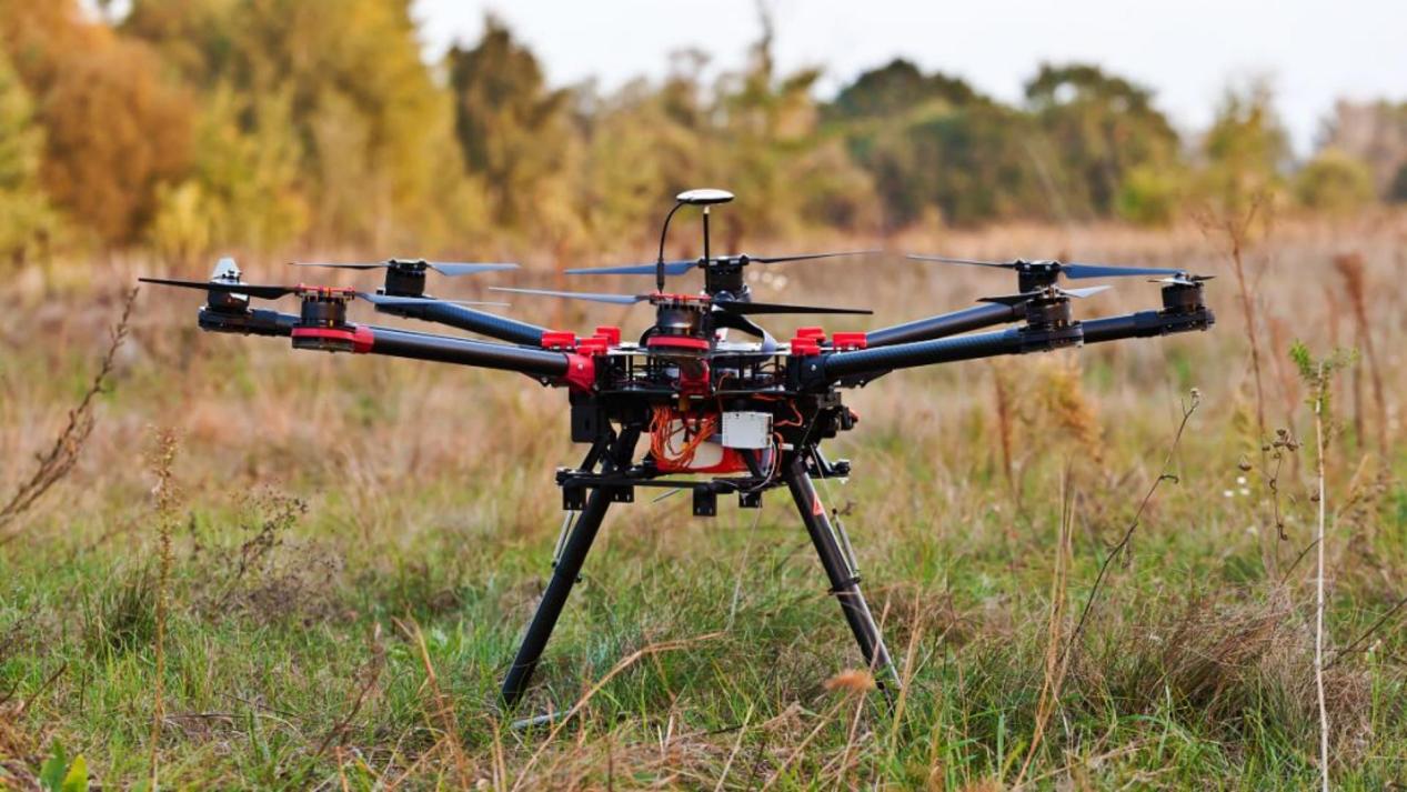
Drone inspection is how companies check bridges, power lines, pipelines, and cell towers. The drone flies close to the structure and takes high-resolution images. A utility inspector reviews those images and decides what needs repair.
This only works if the drone knows exactly where it is. If the position drifts, the images don’t line up with the right part of the structure. The Septentrio Mosaic-X5 GNSS receiver gives inspection drones the centimeter-level accuracy they need to do this job properly.
The Problem with Standard GNSS Near Bridges and Power Lines
Bridges and transmission towers are made of steel. Steel reflects GNSS signals. When a satellite signal bounces off a steel girder before reaching the drone’s antenna, the receiver thinks the satellite is farther away than it really is. This multipath error can be several meters.
Power lines create another problem. High-voltage conductors generate electromagnetic fields that radiate across GNSS frequencies. Standard receivers struggle to maintain lock in this environment. The Mosaic-X5 handles both challenges with built-in technology that filters out reflected signals and interference.
Centimeter Accuracy Means Better Inspection Data
When an inspector sees a hot connection on a thermographic image, they need to know exactly which tower and which phase the defect is on. The Mosaic-X5 delivers RTK accuracy at the centimeter level. Every image gets geotagged with coordinates precise enough to direct a repair crew to the right hardware component.
This accuracy also enables comparison across inspection cycles. When the same tower is inspected six months later, the drone can retrace the exact same flight path. The inspection software compares images at the same pixel locations and detects real change — not positioning drift.
Multi-Constellation Tracking for Tight Spaces
Inspection drones often fly under bridges, inside power station yards, or between industrial equipment. In these tight spaces, the sky is partially blocked. The Mosaic-X5 tracks GPS, GLONASS, Galileo, and BeiDou all at once. In a tight spot where a basic GPS receiver sees 4 or 5 satellites, the Mosaic-X5 sees 12 to 15. More satellites means continuous RTK positioning even when the sky is partly hidden.
AIM+ Anti-Jamming for Industrial Environments
Industrial inspection sites are noisy in the radio spectrum. Welders, heavy machinery, radio communications, and nearby radar all generate interference. The AIM+ technology in the Mosaic-X5 watches the GNSS spectrum in real time. When it detects interference, it filters it out before it reaches the positioning engine. The drone keeps flying with accurate position data.
Integration with Standard Inspection Drone Platforms
The Mosaic-X5 connects to Pixhawk, Cube, and other flight controllers through standard UART or USB. It outputs NMEA sentences and RTCM corrections that autopilots understand natively. Setup takes minutes — wire the module, configure the autopilot parameters, and the drone is ready for RTK positioning.
Related Inspection Solutions
For different inspection scenarios, the Mosaic-G5 P3H offers dual-antenna heading for inspections requiring precise yaw control. The mosaic-X5 for building inspection covers structural surveys of buildings and facades.
The EV322 receiver makes an excellent portable base station for providing RTK corrections during field inspections.
Why the Mosaic-X5 for Inspection Drones
- Filters out multipath reflections from steel bridges and towers
- AIM+ anti-jamming for noisy industrial sites and power lines
- Centimeter-level RTK for precise defect geolocation
- GPS + GLONASS + Galileo + BeiDou for obstructed sky coverage
- Works with Pixhawk, Cube, ArduPilot, PX4 out of the box
- Compact and lightweight for payload-limited platforms
For published research on drone inspection accuracy, the MDPI Remote Sensing journal covers GNSS performance in infrastructure inspection applications.