Abstract
The Septentrio mosaic-X5 provides centimeter-level RTK positioning for traffic management drones, with its GNSS+ technology suite (AIM+, APME+, LOCK+, IONO+) ensuring signal reliability in complex urban environments. Featuring 448 channels, full-band support, a 100 Hz update rate, and sub-10 ms latency, it is built for high-dynamic traffic monitoring, accident scene reconstruction, and real-time traffic flow analysis.
High-Precision GNSS Technology Empowers Modern Traffic Management
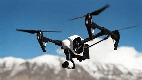
In modern traffic management, drones have evolved from simple monitoring tools into intelligent aerial platforms integrating real-time surveillance, accident investigation, flow analysis, and road inspection. As transportation systems become increasingly complex, traditional navigation solutions can no longer meet the demands for precision, reliability, and anti-interference capability required in high-dynamic, high-density urban traffic scenarios.
Why Centimeter-Level GNSS Accuracy is Crucial for Traffic Management
Quad-constellation GNSS receivers achieve centimeter-level accuracy by simultaneously tracking GPS, GLONASS, Galileo, and BeiDou satellites with RTK corrections. High-precision spatiotemporal data is the foundation for decision-making in Intelligent Transportation Systems (ITS), enabling accurate accident reconstruction, reliable traffic flow analysis, and error-free facility positioning.
Core Advantages of the Septentrio mosaic-X5 GNSS Receiver
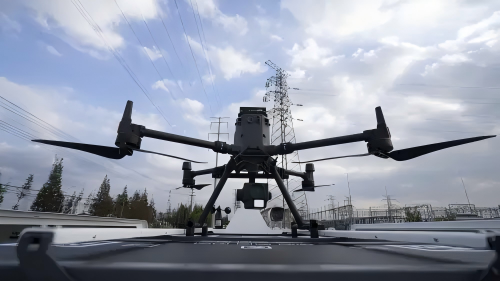
The Septentrio mosaic-X5 is not just a navigation module; it is a high-precision, high-reliability positioning system built for high-dynamic traffic environments. Its compact size, all-frequency support, and advanced anti-interference technology make it perfectly suited for the stringent requirements of traffic management drones.
All-System, All-Frequency GNSS Performance
Despite its compact size of 31x31x4 mm, the mosaic-X5 features:
- 448 hardware channels for simultaneous tracking of all visible satellite signals
- Full constellation support: GPS, BeiDou, Galileo, GLONASS, QZSS, NavIC, SBAS
- Multi-frequency reception for reliable positioning in complex environments like overpasses and tunnel entrances
- OSNMA support for authenticated, tamper-resistant GNSS signals
GNSS+ Technology Ensures Stable Positioning in Complex Traffic Environments
Septentrio’s GNSS+ suite maintains high accuracy even in urban settings rich with interference and multipath:
- AIM+ — Industry-leading anti-jamming and anti-spoofing against intentional interference and imitation signals
- APME+ — Multipath suppression reducing the impact of signals reflected from buildings and vehicles
- LOCK+ — Stable tracking under high vibration and windy conditions
- IONO+ — Protection against ionospheric disturbances for all-weather reliability
These technologies deliver sustained centimeter-level RTK accuracy:
- Horizontal accuracy: 0.6 cm + 0.5 ppm
- Vertical accuracy: 1.0 cm + 1 ppm
Integration Advantages in Traffic Management Drone Platforms
High Update Rate and Low Latency Response
The mosaic-X5 supports a 100 Hz update rate with less than 10 ms latency, ensuring every image frame captured during high-speed inspection or rapid accident response is synchronized with precise geographic coordinates. This enables dynamic traffic flow monitoring and real-time traffic event annotation.
Accurate 3D Scene Reconstruction
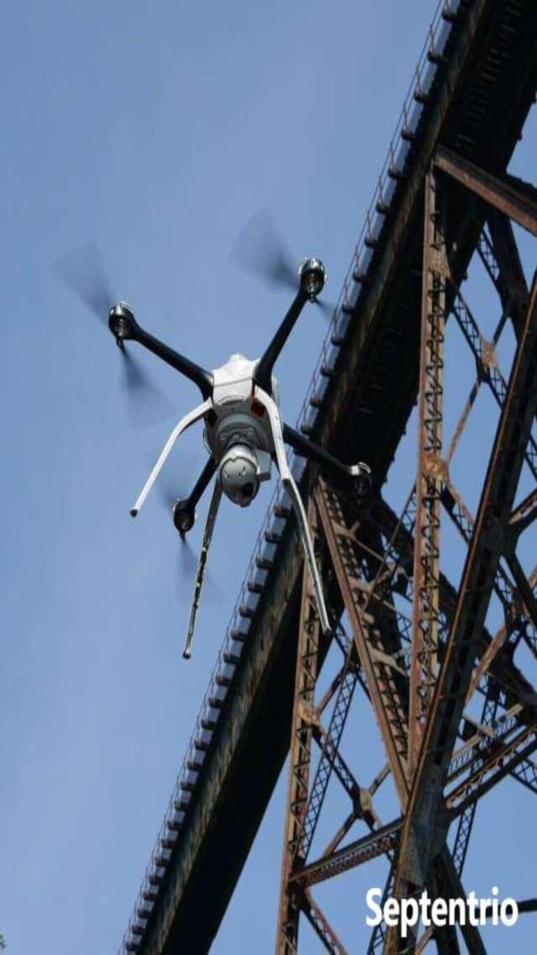
In applications like 3D reconstruction of traffic accident scenes and road infrastructure modeling, the mosaic-X5’s high-precision positioning provides a stable spatial reference for image data, significantly improving modeling quality and the validity of legal evidence.
High Efficiency and Extended Endurance Support
Fast RTK initialization (under 7 seconds) improves mission response speed. With typical power consumption of only 0.6 W, it extends drone flight time, making it suitable for large-scale road network patrols and long-duration monitoring tasks.
Strong Environmental Adaptability
Compliant with ENV-STD-810G vibration standards and an operating temperature range of -40°C to +85°C, it adapts to various traffic management environments from summer heat to winter cold, and from urban to suburban areas.
The Precise Spatiotemporal Foundation for Traffic Management Drones
Enhancing Data Credibility and Decision-Making Basis
Drones equipped with the mosaic-X5 provide highly credible spatial data, strengthening the scientific basis and traceability of traffic flow analysis, accident liability determination, and facility management decisions.
Easy Integration and Complete Development Ecosystem
Comprehensive interface support (4xUART, Ethernet, USB, SDIO), full protocol compatibility (NMEA, RTCM, RINEX), and free SDKs and APIs significantly reduce system integration and drone platform development cycles.
A Future-Proof GNSS Investment
Choosing the mosaic-X5 provides traffic management authorities with long-term stable, technologically advanced positioning capability, supporting current and future navigation signals and security standards.
Related GNSS Products
- HB21 GNSS Box Receiver — All-in-one RTK receiver with integrated 4G LTE, heading, and data logging
- HB6 GNSS Box Receiver — Compact quad-constellation RTK receiver powered by Septentrio Mosaic X5
- EV322 GNSS Receiver — Lightweight RTK receiver for UAVs and autonomous systems
- AIM+ Anti-Jamming Technology — Advanced interference and spoofing protection
Browse our full GNSS receiver collection for professional UAV applications.
Frequently Asked Questions
What GNSS accuracy does the Septentrio mosaic-X5 provide for traffic management drones?
The mosaic-X5 delivers centimeter-level RTK accuracy (0.6 cm + 0.5 ppm horizontal), enabling drones to precisely geolocate vehicles, reconstruct accident scenes, and monitor traffic flow with lane-level precision in complex urban environments.
How does the mosaic-X5 handle GNSS challenges in dense urban traffic environments?
With multi-constellation tracking across GPS, GLONASS, Galileo, and BeiDou plus APME+ multipath mitigation, the mosaic-X5 maintains RTK lock even near high-rise buildings, under overpasses, and at tunnel entrances where single-constellation receivers would lose position.
What update rate does the mosaic-X5 support for tracking fast-moving traffic?
The mosaic-X5 outputs position data at up to 100 Hz with sub-10 ms latency, enabling real-time trajectory computation for vehicles traveling at highway speeds and precise synchronization with camera or LiDAR data for evidence-grade documentation.
Can the mosaic-X5 be used for 3D accident scene reconstruction?
Yes. The mosaic-X5’s centimeter-level positioning provides a stable spatial reference for photogrammetry and LiDAR data used in 3D accident reconstruction, ensuring that scene measurements meet evidentiary standards for law enforcement and insurance purposes.
Further Reading
- Septentrio Mosaic-X5 for Traffic Surveillance Drones – Related traffic monitoring applications
- Septentrio Mosaic-X5 for Building Inspection Drones – Urban infrastructure inspection
- How Multi-Constellation GNSS Improves UAV Accuracy – Signal reliability in urban environments
- GNSS Receiver Buying Guide 2026 – Select the right receiver for your application