# GNSS for Autonomous Vehicles — RTK Positioning for Robotaxis & Autonomous Logistics
## Why RTK GNSS Is the Backbone of Autonomous Vehicle Navigation in 2026
The autonomous vehicle industry has crossed a critical threshold. In 2026, SAE Level 4 robotaxis operate commercially in geofenced zones across San Francisco, Phoenix, Wuhan, Beijing, Shanghai, Austin, and a growing list of cities. Autonomous logistics trucks move freight between distribution hubs. Delivery robots navigate sidewalks in dense urban cores. And behind every one of these systems, RTK GNSS provides the absolute positioning anchor that makes safe autonomy possible.
The automotive high-precision positioning market is valued at $3.8 billion in 2026 and is projected to reach $17.64 billion by 2035 — an 18.6% CAGR. This growth is driven by regulatory mandates (NHTSA validation protocols, EU AI Act type-approval requirements), accelerating OEM deployment of Level 2+ through Level 4 systems, and the practical reality that no autonomous vehicle can operate safely without reliable centimeter-level positioning.
This guide explores why RTK GNSS has become non-negotiable for autonomous vehicles, how sensor fusion architectures integrate GNSS with other perception sensors, and what to look for when selecting a GNSS receiver for robotaxi or autonomous logistics applications.
## The Role of GNSS in Autonomous Vehicle Sensor Fusion
The 2026 reference sensor suite for a Level 4 autonomous vehicle includes:
– 8–12 cameras for visual perception
– 1–4 LiDARs for dense 3D mapping
– 6–8 4D imaging radars for long-range object detection
– 10–12 ultrasonics for near-field maneuvering
– An IMU + dual-antenna RTK GNSS for absolute positioning
### Why GNSS Is Different From Other Sensors
Every other sensor in an autonomous stack measures relative position. Cameras see objects relative to the vehicle. LiDAR measures distances from the sensor. Radars detect velocity relative to the frame. Only GNSS provides absolute Earth-referenced coordinates — the vehicle’s precise latitude, longitude, and altitude in a global frame.
This absolute reference serves three critical functions:
1. HD Map Anchoring — The vehicle localizes against a centimeter-accurate prior map. RTK GNSS provides the initial pose and continuous drift-free correction.
2. Sensor Calibration — Camera, LiDAR, and radar detections are projected into the global frame using GNSS-derived position and heading.
3. Integrity Monitoring — When visual odometry and LiDAR SLAM drift, GNSS provides the ground truth to detect and correct errors.
### Sensor Fusion: How GNSS, IMU, LiDAR, and Cameras Work Together
The dominant architecture in 2026 uses a factor graph (implemented with GTSAM, Ceres, or custom CUDA kernels) running at 100–200 Hz. The fusion pipeline:
1. RTK GNSS provides absolute position at 10–20 Hz with 2–3 cm accuracy
2. Tactical-grade IMU (200 Hz sampling) provides high-rate pose prediction between GNSS updates
3. Wheel-speed encoders and steering-angle sensors add odometry constraints
4. LiDAR scan matching against the HD map provides lateral constraints (5–20 cm)
5. Camera feature matching provides visual constraints
The extended Kalman filter or factor graph fuses all these inputs, weighting each by its estimated uncertainty. When GNSS is temporarily lost (tunnels, urban canyons), the IMU bridges the gap with dead-reckoning for several seconds before drift becomes unacceptable.
## RTK GNSS: From Centimeter Accuracy to Operational Reliability
### How RTK Works
Real-Time Kinematic (RTK) GNSS achieves centimeter-level positioning by using carrier-phase measurements rather than code-phase measurements alone. The principle:
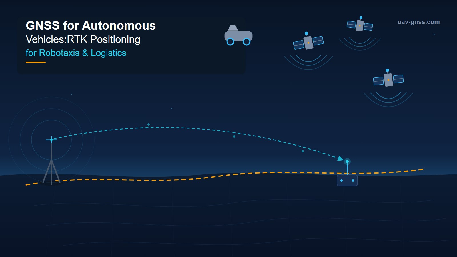
1. A base station at a known fixed location computes corrections for satellite signal errors
2. These corrections are transmitted to the rover (the vehicle) via radio link, cellular, or IP
3. The rover applies the corrections, resolving carrier-phase integer ambiguities to achieve 2–3 cm horizontal accuracy
### PPP-RTK: The Next Generation for Wide-Area Coverage
Traditional RTK requires a base station within 10–20 km of the rover. PPP-RTK (Precise Point Positioning + RTK) extends this to continental-scale coverage by:
– Using a network of reference stations (~200 km spacing)
– Estimating satellite orbit and clock corrections from a global network (~100 stations)
– Modeling atmospheric delays (ionospheric and tropospheric) across the network
– Broadcasting State Space Representation (SSR) corrections via satellite or cellular
PPP-RTK achieves the same centimeter-level accuracy as local RTK but without requiring nearby base stations — a critical advantage for autonomous logistics vehicles traveling across state lines or country borders.
### What 2–3 cm Accuracy Means for Autonomous Vehicles
| Requirement | Consumer GPS | RTK GNSS |
|————|————-|———-|
| Lane-level positioning | ❌ 5–10 m error | ✅ 2–3 cm |
| HD map localization | ❌ | ✅ |
| Safe trajectory planning | ❌ | ✅ |
| Construction zone navigation | ❌ | ✅ |
| Autonomous docking | ❌ | ✅ |
For robotaxis, 2–3 cm accuracy means the vehicle can:
– Stay centered in its lane through narrow construction zones
– Localize against HD maps with confidence
– Plan precise paths around obstacles
– Execute smooth lane changes and merges
– Park autonomously with millimeter-level final positioning
## GNSS for Robotaxis: Real-World Requirements
### Urban Canyon Challenges
Robotaxis operate in the most demanding GNSS environments: dense city centers with tall buildings, tunnels, overpasses, and reflective glass facades. These create:
– Multipath — Signals reflecting off buildings arrive later, corrupting the measurement
– NLOS reception — Satellites are visible only through reflected paths
– Signal blockage — Complete loss of satellite visibility in tunnels and parking garages
– RF interference — Cellular towers, Wi-Fi networks, and other transmitters
Modern GNSS receivers address these with:
– APME+ — Advanced multipath mitigation that discriminates between direct and reflected signals
– IMU tight coupling — INS fills GNSS gaps during blockages
– Multi-constellation tracking — GPS + GLONASS + Galileo + BeiDou
– Dual-frequency reception — Eliminates ionospheric errors
### Redundancy and Safety Case
For Level 4 robotaxis, single-point failures are unacceptable. The industry-standard approach:
1. Dual GNSS receivers with separate antennas
2. Multi-path correction service subscription
3. IMU bridging with tactical-grade IMU
4. LiDAR map matching for independent localization
5. Camera-based lane marking detection as tertiary backup
## GNSS for Autonomous Logistics: Ports, Yards, and Highways
### Port Automation
Ports represent one of the most GNSS-challenging environments. Container stacks, cranes, and metal structures create severe multipath. South Korean company SUM Inc. uses Septentrio’s AsteRx SBi3 Pro+ GNSS/INS receiver in SMOBI autonomous yard trucks. Results:
– Lateral deviation < 15 cm between container cranes
- Sub-centimeter horizontal accuracy (0.6 cm + 0.5 ppm)
- Heading accuracy of 0.15° from dual-antenna
- Continuous operation in tunnels via FUSE+ sensor fusion
- AIM+ anti-jamming against crane radio interference
### Highway Autonomous Trucks
For long-haul autonomous trucks: PPP-RTK correction services provide continental-scale coverage. Trucks with multi-constellation, dual-frequency receivers maintain RTK fix across thousands of kilometers.
### Autonomous Yard Operations
AGVs in logistics yards use RTK GNSS with dual-antenna heading for precise dock alignment and container handling.
## Key GNSS Receiver Specifications for Autonomous Vehicles
### 1. Accuracy
- Horizontal: < 2 cm with RTK
- Vertical: < 3 cm with RTK
- Velocity: < 0.03 m/s
### 2. Update Rate
- Position: 10–20 Hz minimum
- IMU fusion: 100–200 Hz
### 3. Multi-Constellation Support
- GPS L1/L2/L5, GLONASS L1/L2/L3
- Galileo E1/E5a/E5b/E6, BeiDou B1I/B2I/B3I/B1C/B2a
### 4. Anti-Jamming
- AIM+ provides up to 60 dB interference suppression
- Critical for urban RF-congested environments
### 5. Sensor Fusion Integration
- ROS2 drivers for robot stack integration
- IMU tight coupling for GNSS-INS fusion
- Dual-antenna heading eliminates compass errors
### 6. Integrity
- RAIM+ autonomous integrity monitoring
- Detects and excludes faulty measurements
## The mosaic-X5 and G5 RTC for Autonomous Systems
At uav-gnss.com, we supply GNSS receivers based on Septentrio’s mosaic-X5 and G5 RTC modules.
### mosaic-X5 Key Features
– 448-channel multi-constellation tracking
– Centimeter-level RTK with < 10 sec convergence
- AIM+ anti-jamming for urban RF environments
- APME+ multipath mitigation for city canyons
- Dual-antenna heading for vehicle orientation
- Compact 31×32×4 mm form factor
- Low power consumption < 1.5 W
- ROS2 driver support
### G5 RTC for Navigation-Grade INS Integration
- Integrated IMU with tactical-grade gyroscopes
- FUSE+ sensor fusion for seamless GNSS-INS
- Continuous operation through tunnels (up to 60 sec)
- 200 Hz update rate
- Industrial temperature range (-40°C to +85°C)
Browse our GNSS receivers for autonomous vehicles →
## The Autonomous Vehicle Positioning Market: 2026–2036
– Market size (2026): $3.8 billion
– Forecast (2035): $17.64 billion
– CAGR: 18.6%
– Leading segments: RTK-GNSS modules, sensor fusion stacks
– Key geographies: Germany, Japan, United States, China
– Regulatory drivers: NHTSA, EU AI Act, ISO 26262 ASIL-D
By 2028, industry analysts expect centimeter-level GNSS to be standard equipment on all Level 2+ vehicles.
## FAQ
### Q: Can GNSS alone provide reliable positioning for autonomous vehicles?
No. GNSS requires sensor fusion with IMU, LiDAR, cameras, and wheel odometry for reliability.
### Q: What accuracy does an autonomous vehicle actually need?
Level 4 autonomy requires 2–10 cm lateral positioning accuracy for lane keeping. < 3 cm for precision maneuvers.
### Q: How do autonomous vehicles handle GNSS outages?
Through inertial dead reckoning (IMU bridging), LiDAR map matching, and visual odometry.
### Q: What's the difference between RTK and PPP-RTK?
RTK requires local base station within 10–20 km. PPP-RTK provides same accuracy over continental scales.
### Q: Is dual-antenna GNSS necessary?
For precise heading, yes. Dual-antenna provides absolute heading without magnetic interference issues.
### Q: What anti-jamming protection is needed?
AIM+ anti-jamming (up to 60 dB suppression) is the industry standard for RF-congested urban environments.
### Q: How does weather affect GNSS accuracy?
GNSS signals are not significantly affected by weather. Heavy rain or snow does not degrade RTK accuracy.
### Q: Can autonomous vehicles use drone GNSS receivers?
Core RTK is similar, but vehicle receivers need higher update rates, tighter IMU integration, and automotive-grade ratings.
## Conclusion
As autonomous vehicles move from pilot programs to commercial scale, the quality of GNSS positioning directly determines operational safety. Multi-constellation, dual-frequency RTK GNSS fused with IMU, LiDAR, cameras, and wheel odometry is the 2026 reference architecture.
Whether you're developing a robotaxi fleet, autonomous logistics trucks, or port automation systems, the right GNSS receiver is the foundation your autonomy stack depends on.
Explore our autonomous vehicle GNSS solutions →