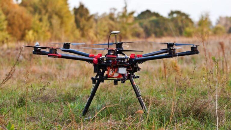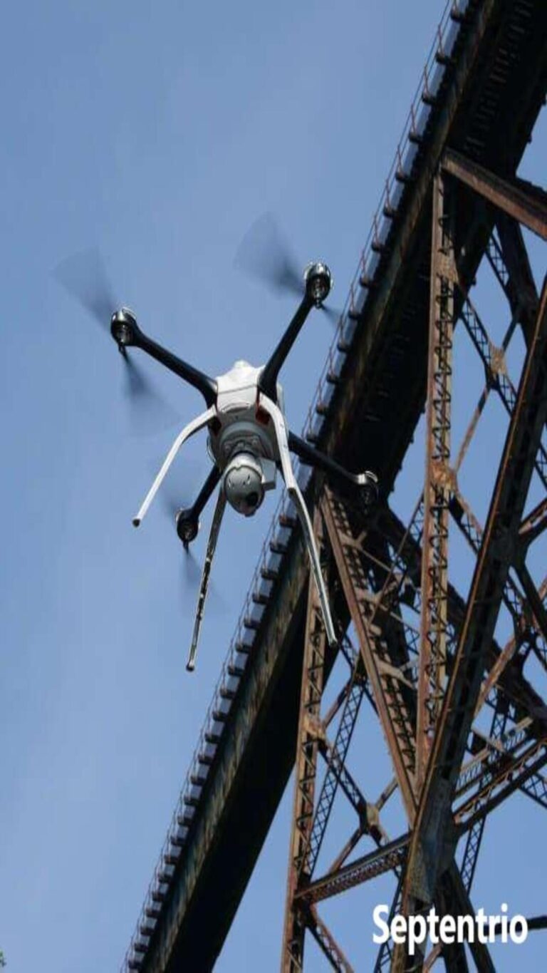
On 3 February 2026, 22,580 drones lifted off simultaneously over Hefei, China for the CMG Spring Festival Gala — a Guinness World Record for the most multirotor aircraft airborne from a single computer. Four months later, in Dujiangyan, Sichuan, 33,615 drones took off at once and assembled the largest mid-air LED mesh screen ever flown: 148,561 square metres of floating display. A decade ago the record was a few hundred aircraft. The jump from hundreds to tens of thousands is, at its foundation, a positioning problem that GNSS solved — and the same physics an eVTOL air taxi needs on final approach to a vertiport, only with passengers aboard.
Specifying GNSS for a swarm or an eVTOL program? Send us the platform, the mission profile and the accuracy target and we will match a receiver to it — Request a quote or browse the GNSS receiver range.
Why 2026 Was the Year Swarms Grew Up
Every aircraft in a 33,000-drone show has to know where it is, to centimetre accuracy, every fraction of a second, in the same coordinate frame and on the same time base as its neighbours. Nothing fundamental about the GNSS signals changed between a 500-drone show and a 33,000-drone show. What changed was the combination of multi-frequency receivers small enough to fly on a few-hundred-gram airframe, a correction stream the whole fleet can share, and a common GNSS-derived time base so that the formation acts as one machine.
EHang’s record-setting GHOSTDRONE 4.0, for example, is specified with centimetre-level positioning — not a marketing line, but the minimum condition for the choreography to exist at all.
The Drone-Show Recipe: RTK, Shared Corrections, Shared Time
One correction source beats many
For a swarm, relative accuracy matters more than absolute accuracy. It barely matters whether the formation is two metres north of plan; it matters enormously whether drone 8,412 sits two metres from drone 8,413 when the command says one metre. A single RTK base station on a surveyed point, broadcasting RTCM corrections to every rover, gives the best relative accuracy because all aircraft resolve their positions against the same reference. Network RTK over NTRIP removes the physical base station but corrects each drone against a slightly different reference, so relative accuracy within the swarm is a little lower — and that is the difference that matters for tightly choreographed formations. Multi-frequency RTK engines such as Septentrio’s mosaic-X5 or mosaic-G5 converge in under a second after an interruption and hold 1–2 cm relative accuracy — which lets operators fly aircraft one or two metres apart instead of the several metres a standalone solution demands.
Time is what makes 20,000 aircraft act as one
Position alone is not enough; the fleet also needs a shared clock. GNSS gives every receiver a UTC-traceable time reference, and each receiver emits a pulse-per-second (PPS) signal that disciplines its internal clock — typically under 20 nanoseconds of jitter on mosaic-class hardware. When every aircraft samples its trajectory and switches its LEDs against that same time base, the formation moves and flashes as a single object. Break the shared time base — say, with RF interference in a packed stadium — and the display shimmers even though every individual fix still reads “fixed”. That is why swarm operators watch interference mitigation and fix rate as closely as raw accuracy: the receiver has to hold its RTK fix in a deliberately RF-dense environment and keep its timing honest while doing it. See our guide to finding and suppressing drone GNSS interference for the field method.
Why eVTOL Is a Harder Problem Than Any Light Show
The last 50 metres
A drone show is easy mode in positioning terms: open sky over a fixed launch area, a pre-planned trajectory, no passengers, and a controller that tolerates a failed unit. An eVTOL approach is hard mode. Research on vertiport operations puts the navigation requirement for eVTOL approach and landing at roughly 10–50 centimetres, and, critically, the aircraft’s horizontal footprint (EASA’s D-value) must fit inside the Final Approach and Take-off Area (FATO) with high probability at the hover altitude before it transitions onto the Touchdown and Lift-off (TLOF) pad. Standalone GNSS vertical accuracy is not sufficient for that: the vertical channel is the weakest and the most consequential, because a two-metre horizontal miss can be survivable where a rooftop-pad miss is not.
Urban-canyon physics
Vertiports sit where the sky is most hostile. Buildings block and reflect satellite signals, producing multipath and non-line-of-sight reception; low-elevation satellites suffer most; and cycle slips spike exactly during the terminal manoeuvres when the aircraft has least time to recover. This is why civil aviation, and now the UAM sector, treats standalone GNSS as a contributor rather than a stand-alone safety-critical solution, and builds an augmentation-plus-fusion architecture around it.
The Augmentation Stack for Vertiport Approach
Satellite-based augmentation: EGNOS and the SAMVA trials
The first publicly demonstrated EGNOS-enabled vertiport was flown in Europe. The EU-funded SAMVA project — SBAS Adoption in Multicopter VTOL Aircraft, led by PildoLabs with EUSPA support — completed flights with an EHang EH216-S at Lleida–Alguaire International Airport in Catalonia, using EGNOS to guide the approach, and produced the first flight-procedure design criteria for autonomous eVTOL passenger aircraft based on EGNOS, alongside work combining the EGNOS Safety-of-Life service with onboard sensors and the Galileo High Accuracy Service.
Local ground augmentation: U-GBAS at the vertiport
Satellite augmentation alone will not always meet the integrity required in a dense city, so researchers adapted aviation’s Ground-Based Augmentation System into an urban variant. The “Urban GBAS” (U-GBAS) concept places a network of reference receivers at vertiports across a metropolitan area; within the polygon they span, the ground network checks satellite signals for faults and ionospheric distortion centrally, so airborne equipment can be simpler and cheaper while still meeting the safety case. Its uplink carries corrections for up to about 50 satellites on at least two frequencies at a far higher data rate — and with better security — than the roughly 1.7 kB/s VHF link used by classic GBAS.
PPP-RTK, Galileo HAS and ARAIM
Where no local reference network exists, precise point positioning fills the gap: PPP-RTK delivers centimetre-level accuracy over wide areas from a sparse network, and the free Galileo High Accuracy Service provides orbit corrections better than 10 cm and clock corrections better than 0.3 ns. Advanced Receiver Autonomous Integrity Monitoring (ARAIM) computes protection levels onboard from multi-frequency, multi-constellation GNSS without ground infrastructure — attractive en route, but limited in the terminal phase because conservative error overbounding and lost satellites can cut availability and continuity. No single augmentation closes every phase, so a credible architecture layers SBAS, local augmentation, PPP-RTK and ARAIM together.
Sensor Fusion Is Not Optional
Whatever the augmentation, multipath and blockage still starve GNSS near buildings, so fusion fills the gap. An INS coasts through brief GNSS outages, supplies attitude and heading, and smooths the high-rate control loop between position updates; tight coupling, where inertial data assists the GNSS tracking loop itself, holds a usable solution where a loosely coupled receiver would drop its fix. Ultra-wideband ranging is a strong complement in the multipath-prone pocket around a vertiport: a 2025 study of a loosely coupled GNSS/UWB/INS architecture reported positioning-error reductions of up to roughly 90% versus GNSS/INS alone, and introduced an “inverted UWB” method that estimates anchor positions so a portable vertiport need not have its anchors pre-surveyed. Radar adds robustness against weather and jamming — flight tests fusing INS/GNSS/radar through a Multiplicative Extended Kalman Filter improved accuracy over INS/GNSS alone — while barometric altitude must be rigorously converted to geodetic altitude to contribute vertically, and lidar, more accurate than radar, degrades in fog and rain.
Integrity, Jamming and Spoofing in Urban Airspace
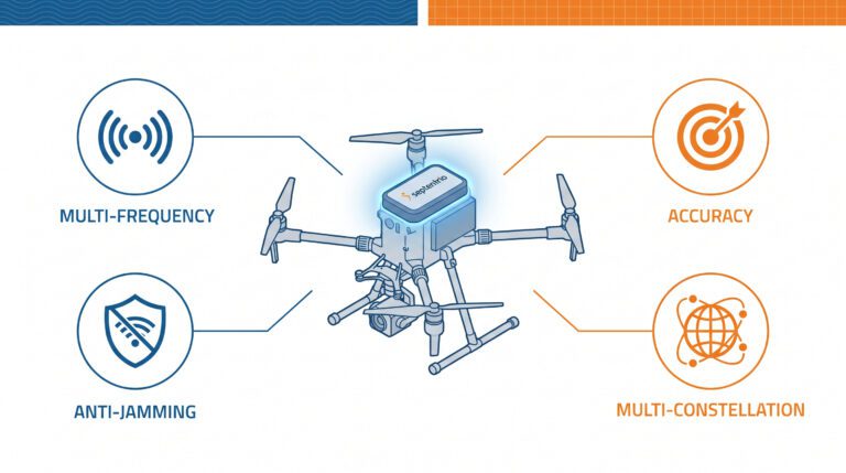
GNSS is relatively easy to jam and to spoof, and urban airspace makes both more consequential. A trustworthy eVTOL or swarm architecture adds authentication and integrity at the receiver itself: Galileo E1 authentication and OSNMA-style message authentication to reject spoofed signals (demonstrated for UAM in the EU’s GAUSSIAN project), measurement-level integrity monitoring such as RAIM+ to catch a silently biased fix, and RF-front-end anti-jamming such as Septentrio’s AIM+ to keep the signal usable in the first place. These cover different failures, and a resilient platform wants all three, with a defined graceful-degradation path when they disagree.
What to Specify in a GNSS Receiver for Swarms and eVTOL
| Ask for | Why it matters |
|---|---|
| Multi-constellation, multi-frequency (L1/L2/L5, E1/E5, B1/B2-class) | Satellite availability and integrity in a cluttered urban sky |
| RTK and PPP-RTK capable on the same module | Swarm-relative accuracy plus a wide-area fallback for en-route |
| 100 Hz update rate and low latency | Feeds fast formation and approach control loops |
| Precise PPS and event markers (5 ns / <20 ns class) | A shared time base that keeps swarm and payload in lockstep |
| Interference mitigation (AIM+) | Keeps RTK fix and timing in dense RF and jamming |
| Integrity monitoring (RAIM+) and authentication (OSNMA) | Rejects silently biased and spoofed solutions |
Receivers and Modules for Swarm and eVTOL Programs
Everything above ships as receiver behaviour, not as a service. These modules and receivers carry Septentrio Inside and cover the range from a few-gram swarm node to a reference station:
- Septentrio mosaic-X5 Module — the multi-frequency, all-constellation core for integrators needing raw observables and low latency.
- HBEV322 / HBEV322H Compact RTK GNSS Receiver — mosaic-G5 P3H with dual-antenna heading for airframes that need attitude as well as position.
- HB52H / HB52 Ultralight RTK Module — a few-gram mosaic-G5 module for swarm nodes and mass-limited platforms.
- HB10 Dual-Antenna RTK Receiver — AsteRx-m3 Pro+ for precise position and heading in challenging environments.
- HB62 Rugged GNSS Reference Station — a turnkey reference receiver for a shared swarm correction source or a vertiport augmentation network.
- UAV & Aviation Antenna — multi-frequency antennas matched to airborne and ground platforms.
Every receiver above includes AIM+ resilient GNSS technology for interference and spoofing protection. For the swarm-fundamentals side, read RTK GNSS for drone swarms: synchronisation and multi-UAV positioning, and for detection integrity see RAIM+ for drones.
Frequently Asked Questions
Can standalone GNSS guide an eVTOL to a vertiport?
No. Standalone GNSS is not accurate or reliable enough in an urban canyon, particularly in the vertical channel, for a safety-critical approach. Vertiport navigation uses augmentation (SBAS/EGNOS, local U-GBAS, PPP-RTK/HAS, ARAIM) combined with sensor fusion (INS, UWB, radar, vision), with GNSS as a core contributor rather than a stand-alone solution.
Why do drone light shows need RTK rather than ordinary GPS?
Relative accuracy within the formation. Standalone GPS is accurate to a few metres, which forces large separation distances. RTK brings relative accuracy to 1–2 cm, letting drones fly one to two metres apart and hold a tight, flicker-free formation.
What accuracy is actually needed at a vertiport?
Research on vertiport approach operations cites roughly 10–50 centimetres, with the aircraft’s horizontal footprint (EASA’s D-value) needing to stay inside the FATO with high probability at the hover altitude before transitioning to the landing pad.
Does adding UWB or INS to GNSS really help that much?
Yes. A 2025 study of a loosely coupled GNSS/UWB/INS architecture reported positioning-error reductions of up to about 90% versus GNSS/INS alone in a multipath-prone urban scenario, and INS fusion keeps a usable solution through brief GNSS outages near buildings.
How do you protect eVTOL GNSS from jamming and spoofing?
In layers: RF-front-end anti-jamming (AIM+) to keep the signal usable, measurement-level integrity monitoring (RAIM+) to reject a silently biased fix, and signal authentication (Galileo E1 / OSNMA) to reject spoofing, plus a defined graceful-degradation path that falls back on fusion and alternative augmentation when GNSS is contested.
Next Step
Tell us the platform, the mission profile and what your downstream system does with position and time — we will come back with a receiver configuration and a price. Request a quote, or contact the team.
Sources: EHang / Guinness World Records (Hefei, Feb 2026); Yufengzhe Technology / Guinness World Records (Dujiangyan, May 2026); EUSPA/PildoLabs SAMVA; U-GBAS and vertiport navigation research (DLR HorizonUAM and related); GNSS/UWB/INS eVTOL navigation study (2025); Septentrio product documentation.