

RTK Drops at Sunset? Ionospheric Scintillation for Drones
A sunset RTK dropout in low latitudes is usually the ionosphere, not the airframe: what scintillation does to drone GNSS and how IONO+ keeps a fix.
A sunset RTK dropout in low latitudes is usually the ionosphere, not the airframe: what scintillation does to drone GNSS and how IONO+ keeps a fix.
Jamming can move a drone’s GNSS timestamps while position looks fine. Why PPS drifts, and how in-band zero-delay anti-jamming stops it. Request a quote.
Interference shows up as dropouts, drift or a no-RTK zone. How to find it in the receiver’s spectrum view and suppress it with notch filters and WBI. Request a quote.
A drone has no driver to notice a silently wrong fix. How RAIM+ integrity monitoring catches bad GNSS measurements on UAV receivers. Request a quote.
How space-grade GNSS receivers enable LEO precise orbit determination, CubeSat navigation and resilient space-based PNT — and what to look for.
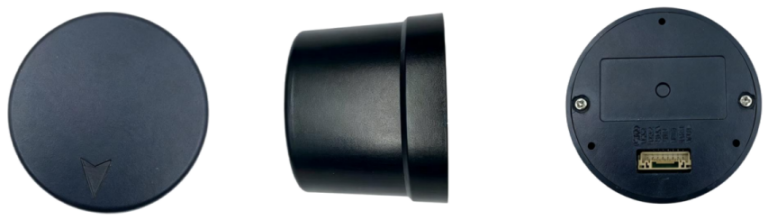
A container yard is a worst-case GNSS environment: steel, reflections, moving machinery. What the PSA Antwerp straddle-carrier retrofit on Septentrio mosaic-X5 means for drone and robotics integrators.
Learn how RTK GNSS receivers deliver centimeter-level positioning for AGVs and industrial robots across factory yards, docks, and outdoor automation.
How RTK GNSS powers train positioning for ERTMS/ETCS and PTC signaling, virtual balises, container yard automation, and rail logistics telematics.

How RTK GNSS powers drone light shows and eVTOL urban air mobility — centimeter accuracy, PPS swarm sync, anti-jamming, and vertiport landing precision.
A Mosaic-G5 P3H field test measured Galileo HAS at 10 cm in open sky – about 5 minutes to 20 cm and 12 minutes to 10 cm. What free satellite PPP changes for drone mapping, inspection and survey flights.